3 years of Landsat data above France available

Theia provides 3 full years of Landsat L2A data acquired from 2013 to 2016 and Landsat 5 and 7 data acquired from 2009 to 2011.

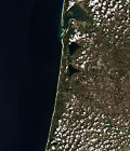
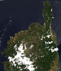
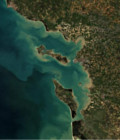
The Muscate processing centre at Cnes, which belongs to French Theia land data centre, produces and distributes all the Landsat 8 data acquired above France at Level 2A. Level 2A products contain surface reflectances after atmospheric correction, and a very good cloud mask. 

Landsat 8 first routine data had been acquired on April 13th 2013, and Theia released the data acquired from the first fortnight of April 2015, a few days ago. Very soon, we will start delivering data above the French oversea regions and communities.

For more information, see : https://labo.obs-mip.fr/multitemp/?p=7615

More information: 

More news

Two THEIA LiDAR tools for forest monitoring

On this International Day of Forests, for which innovation has a major role to play in 2024, we are highlighting two tools dedicated to the management of aerial LiDAR data […]

SWOT data that exceeds expectations

The SWOT space mission was launched at the end of 2022 by CNES and NASA to document the water masses of the entire planet – oceans and continental waters. Data […]

Albédo Sentinel 2 THEIA pur l'Île-de-France, juin 2022

Measuring the albedo of mainland France from Sentinel-2

THEIA’s Albedo team has developed a method for calculating high-resolution (HR) albedo using Sentinel-2 data. The method has already been used as part of the Copernicus Global Land Service program, […]

Search