Data access
Presentation
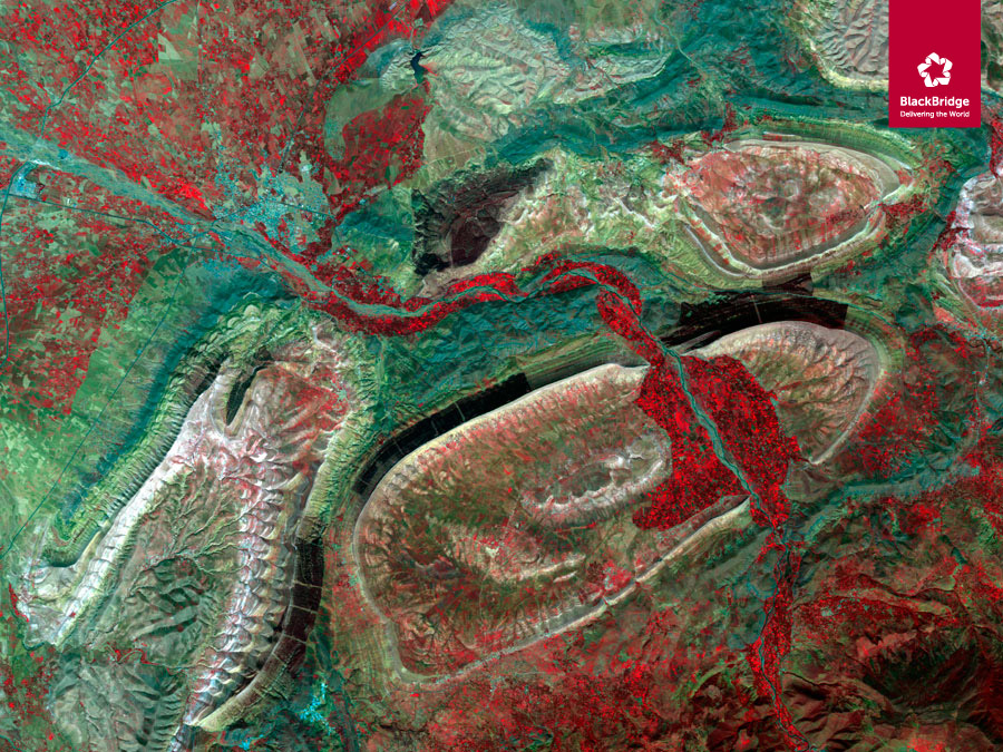
RapidEye products were used for the national coverages of 2010 and 2011.
This coverage was produced directly by the satellite operator, GEOSYS, who provided Geosud with the raw products which were then orthorectified by the IGN to produce the whole France mosaic (“France Entière”) for 2010 and 2011, in compliance with the RGE.
Contact: demande.imagerie@equipex-geosud.fr
Satellite
Name : RapidEye
Imaging mode : optical
Spectral bands :
- Blue
- Green
- Red
- Red-edge
- Near infrared
Resolutions : 5 m (multispectral)
Observation capability :
- Swath : 77 km
- Revisit : 5,5 days
Coverage :
- Area : France
- Period : 2005, 2011, 2013…
For more information see mdacorporation.com
Level
Raw image : non-orthorectified raw images – 5 bands
Ortho : orthorectified images – 5 bands
Image coding : 16 bits
License
Download RapidEye license on ids.equipex-geosud.fr
Download Spot 1-5 license on ids.equipex-geosud.fr