Data access
Presentation
At the end of life of each satellite, CNES issues a call for ideas for short-term experiments taking place before de-orbiting the satellite. CESBIO took the opportunity to set up the Take 5 experiment at the end of SPOT4′ life : this experiment uses SPOT4 as a simulator to give us a hint of the time series that ESA’s Sentinel-2 mission will provide.
On January, 29 2013, the orbit has been lowered from SPOT4’s orbit by 3 kilometers to put it on a 5-days repeat cycle orbit, which means that the satellite flew over the same places on Earth every 5 days. Spot4 has followed this orbit until the end of June 2013. During this period, 42 sites have been observed every 5 days, as in the case of Sentinel-2. The data are processed and distributed by Theia and distributed to users by the end of June 2013.
Contact
theia-land@cnes.fr
Satellite
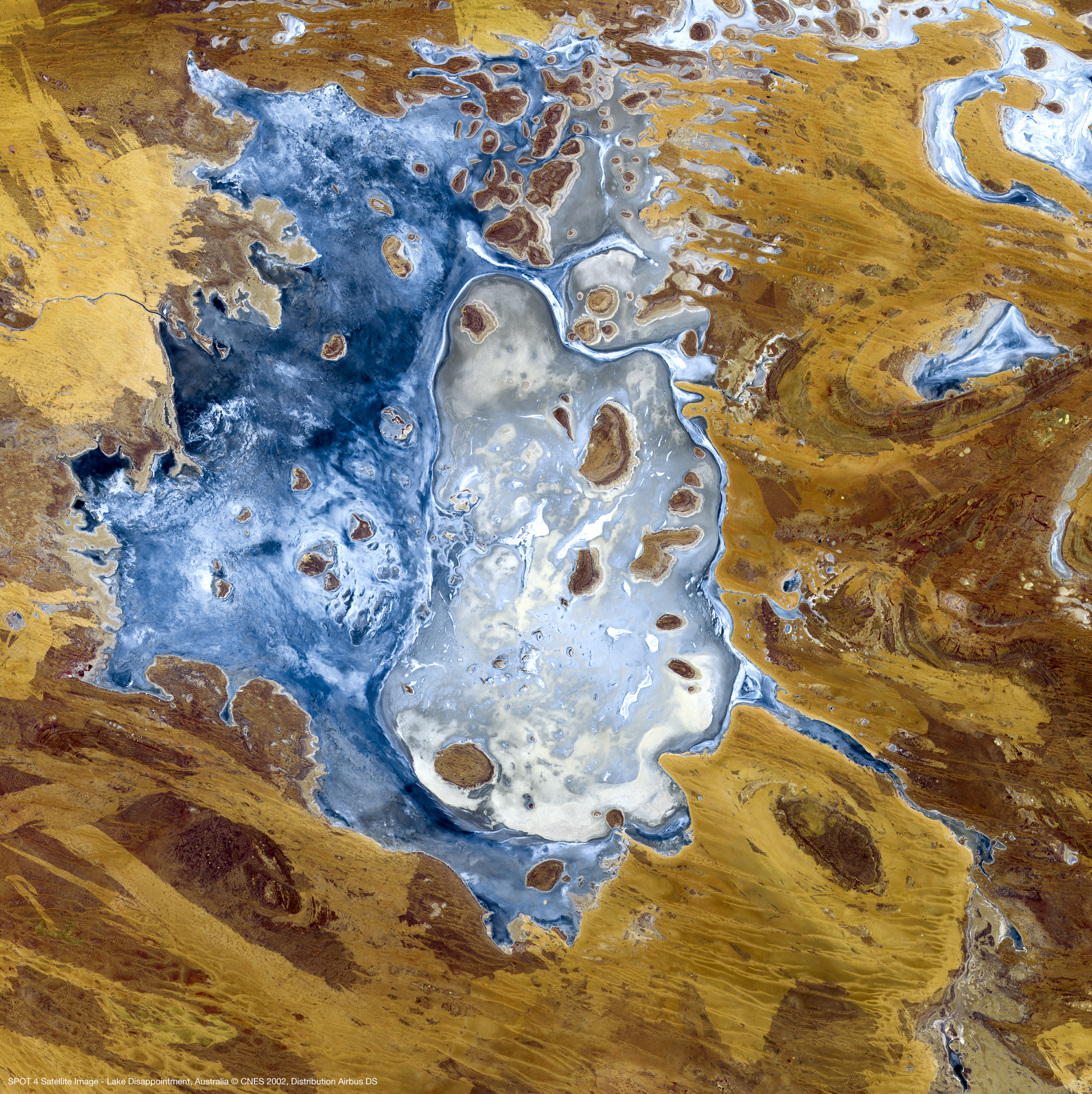
Name : Spot 4
Imaging mode : optical
Spectral bands :
- Green
- Red
- Near infrared
- Moyen infrared
Resolutions : 20 m
Observation capability :
- Swath : 60 km
- Revisit : 5 days
Coverage :
- Area : 45 sites in the world
- Period : February to June 2013
For more information see spot.cnes.fr.
Level
Level 1C : data orthorectified reflectance at the top of the atmosphere
Level 2A : data ortho-rectified surface reflectance after atmospheric correction, along with a mask of clouds and their shadows, as well as a mask of water and snow
Format
Level 1C : Top of Atmosphere reflectance ortho-rectified product (updated for V2.0)
The TAR file distributed by THEIA Land Data Center contains 2 files and a MASK directory.
The 2 files provide the following information :
- the xml file provides the image metadata
- a TIF file
The mask directory provides :
- a saturated pixel mask _SAT.TIF, wIth an 8 bit information
Level 2A : Surface reflectances and cloud mask
The TAR file distributed by Theia contains 4 files and MASK directory :
The 4 files provide the following information :
- An XML file (as in Level 1C)
- Two .TIF files in GeoTiff format that provide surface reflectances, corrected from atmospheric effects, including adjacency effects (ORTHO_SURF_CORR_ENV, not provided for LANDSAT) and even terrain effects (ORTHO_SURF_CORR_PENTE)
- the AOT TIF file provides the estimates of Aerosol Optical Thicknesses (AOT)
The mask directory provides :
- A saturated pixels mask _SAT.TIF (as in Level 1C)
- A mask of clouds and cloud shadows _NUA.TIF
- Diverse binary masks : water, snow and no_data mask, plus (V2.0) pixels lying in terrain shadows _DIV.TIF
For more information, see Take5 Product Format