[Just Released] Theia Bulletin N°16
>>>News from the network: Nomination of Anne Puissant as Theia new Scientific Director; Theia workshop on irrigated areas; Trishna Days ; GAIA Data and Terra Forma Kick-Offs, Critical Zone Award, […]
Theia New Caledonia Regional Animation Network (RAN) was created in May 2019 as a joint initiative of the company INSIGHT SAS (Supply and processing of imagery and development of solutions based on Earth observation data) and IRD New Caledonia. In 2021, the University of New Caledonia joined the regional satellite animation scheme.
Seven objectives were defined at the launch of Theia New-Caledonian RAN
1. Structure, federate and support the community of users in New Caledonia (research institutions, private sector…)
2. Promote the actions of the Theia network and facilitate access to and use of earth observation images from space;
3. Federating exchanges within the scientific and technological community (public and private), relying in particular on existing initiatives, and instilling a dynamic and synergy between the public and private actors of the territory;
4. Contribute to the development of new business service offerings and thus to economic development;
5. Participate in the demonstration of the interest and possibilities of pooling resources for a global reflection on a territorial scale;
6. Participate in training efforts, particularly on value-added products developed in the Scientific Expertise Centres (SEC), for a rise in technical skills of the territory’s managers with the objective of a better understanding of the technology and the challenge capacities of the available offers;
7. Serve as a link between the metropolitan community (Theia, SEC, RAN…) and the New Caledonian community.
Building capacity in a range of priority themes
ART GeoDEV New Caledonia is particularly interested in supporting the development and implementation of appropriate methodologies in areas identified as important by the local community:
-Land use pattern
-Forest and vegetation
-Burnt surfaces
-Erosion
-Climate impact
Other potential complementary themes have been identified:
-Agriculture
-Coastal zone monitoring
-Maritime surveillance
-Coral bleaching
Read here the latest news about Theia New Caledonia GeoDEV Ran.
>>>News from the network: Nomination of Anne Puissant as Theia new Scientific Director; Theia workshop on irrigated areas; Trishna Days ; GAIA Data and Terra Forma Kick-Offs, Critical Zone Award, […]
Read the new Theia Bulletin with all the network news, a selection of focuses on products and much more.
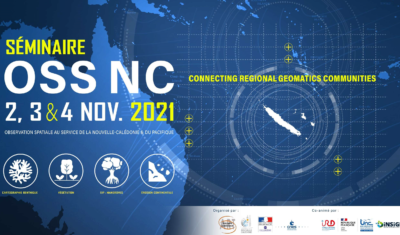
Save the date and register to the OSS-NC workshop, previously suspended because of the sanitary situation in New Caledonia.
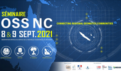
Learn more on the coming New Caledonian event and its relevance for the Remote-Sensing Pacific Community at large

Jean Massenet, CEO of Insight SAS and co-facilitator of the GeoDEV New Caledonia RAN, explains his vision of animation and mediation for the promotion of the uses of space. Read also a review of the OSS-NC 2020 event dedicated to New Caledonian satellites.

Read Theia Bulletin n°14 and all the news from the network.
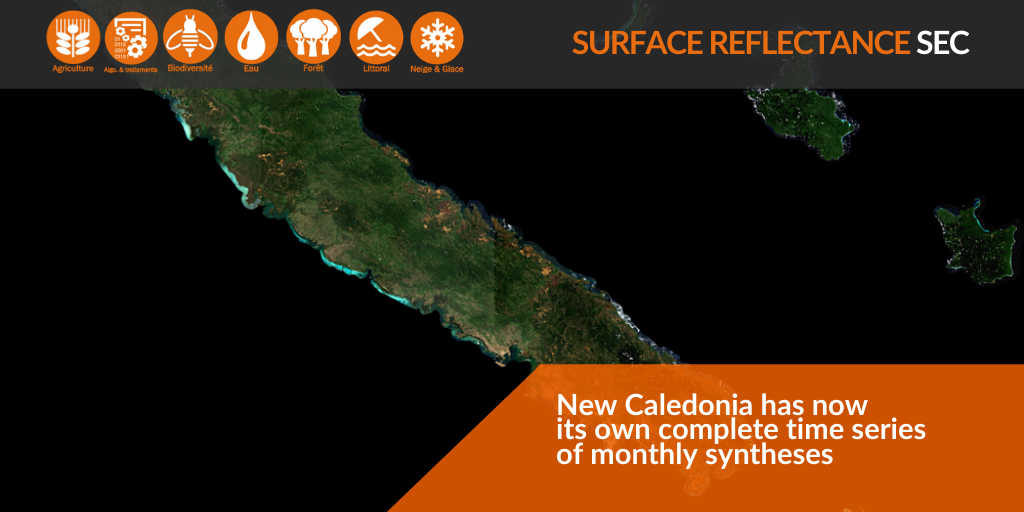
Surface Reflectance monthly syntheses for New Caledonia since July 2017 are now available!
Discover the content of Theia Bulletin n°12.
Read all the news from Theia network.