Risks associated with infectious diseases SEC
Developing transmission risk maps for the various infectious diseases, vector-borne or otherwise, using Earth Observation data.
The Producing SECs’ algorithms have been validated by Theia Scientific Committee. Their products are generated in an operational and recurrent manner over defined geographical areas.
Producing SEC
Developing transmission risk maps for the various infectious diseases, vector-borne or otherwise, using Earth Observation data.
Producing SEC
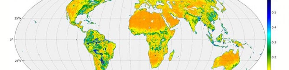
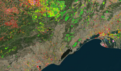
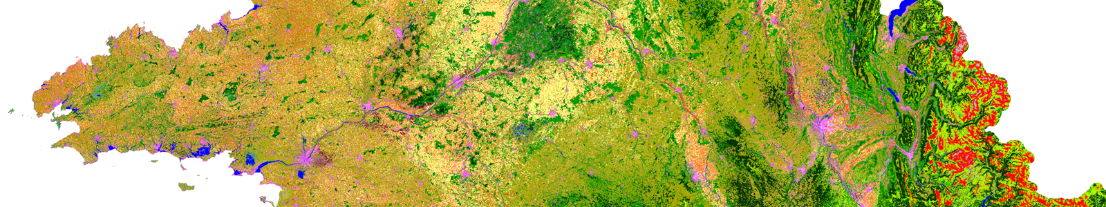
Defining and developing automatic algorithms for the production of land use maps based on satellite imagery