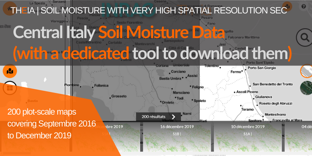
Central Italy Soil Moisture Data (with a dedicated tool to download them)
200 maps documenting soil moisture for central Italy
Theia Soil Moisture with very high spatial resolution SEC is further expanding its collection with a large series of maps for central Italy. This is the third collection available for Italy with Northern Italy and Sardinia.
The Central Italy collection includes 200 maps documenting soil moisture at parcel scale for almost three years, from 8 September 2016 to 28 December 2019. Like the other regional collections for this product, the Central Italy collection benefits from the high repeatability of the Sentinel-1 sensors (every 6 days).
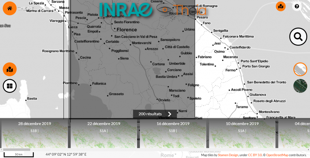
14 sites in Europe and around the Mediterranean Sea
With this new collection, the VHSR Soil Moisture product offers data for 14 sites in Europe and around the Mediterranean basin. A new collection dedicated to Navarra (Spain) is currently being produced.
THISMEDownload.py : a dedicated tool for downloading
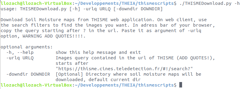
To facilitate entire collection download, an automatic THISMEDownload.py script has been developed by Loïc Lozac’h (INRAE engineer). The script is usable only on a Linux system because it contains dependencies (curl, wget) only available on this system. It allows batch downloading of the data present on the THISME web application.
Directions
- On the THISME web application, launch a search via the client interface.
- The query corresponding to this search is displayed in the address bar of your browser.
- Copy this address from the question mark (?)
- Use this query as an argument to the -urlq option in the THISMEDownload.py script
- Don’t forget to put the query in quotes.
For example, to download the collection corresponding to Central Italy, write :
THISMEDownload.py -urlq "q=%23Central-Italy&collection=SoilMoisture"
Contact

Nicolas Baghdadi
INRAE | Tetis
ResearchGate
Contributions

Loïc Lozac’h
INRAE | Tetis
@L.Lozach