Contributing to the development of our partners in the South in the fields of applicative Earth Observation, based on the resources offered by Theia
- Who are you, and what is your role within Theia? How and why did you get involved? Since when?
- How do your activities as coordinator of the GeoDEV RAN and as a researcher in Earth Observation fit together?
- What are the needs in the South today? In your opinion, what are Theia’s greatest achievements in this field and the major challenges for the consortium in the future?
Who are you, and what is your role within Theia? How and why did you get involved? Since when?
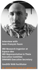
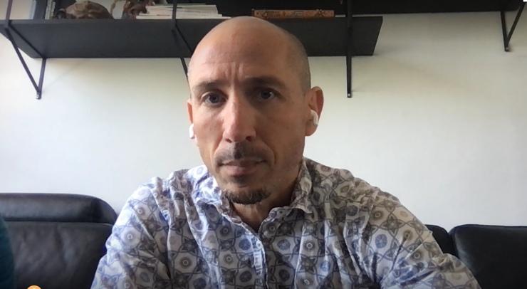
Jean-François Faure: I am a Research Engineer at the IRD within the UMR Espace-dev, and I am as well a member of Theia Executive Board, representing the IRD. In 2016 I proposed to the Steering Committee to support a regional animation network (RAN) dedicated to scientific and technical cooperation with southern countries: the GeoDEV network, which I have been facilitating since its creation with colleagues from IRD, CIRAD and CNES.
Finally, I also act as a correspondent for the French initiative offer for a pooled supply in satellite imagery, DINAMIS, of which I am the Executive Secretary and which is a transverse component of IR Data Terra. I have been involved in the Theia consortium for a long time: as early as 2011, through my involvement in the founding project EQUIPEX GEOSUD (Montpellier), I took part in the numerous meetings that prepared the reactivation of the Pôle Thématique Surface Continentales (PTSC). It was during one of these meetings that I suggested naming it ‘Theia’, which is a Titanid from Greek mythology, daughter of the union of Ouranos, the Sky, and Gaia, the Earth.
How do your activities as coordinator of the GeoDEV RAN and as a researcher in Earth Observation fit together?
Jean-François Faure: The aim of the GeoDEV RAN is to contribute to the development of our partners in the South in the fields of applicative Earth Observation, based on the resources offered by Theia. This objective is directly linked to one of the units within my UMR – the unit for the valorisation and transfer of tools, methods and knowledge, which I manage with my colleague Benoît Mertens.
Within the framework of the application research projects that I have the opportunity to lead or contribute to, accompanying the appropriation, collaboration and co-production of research results with our partners constitutes a very important dimension, generating specific components or axes. For example, a training, usage and feedback programme for the platform has been programmed and should take place in the first half of 2022 as part of a project submitted to the Space Climate Observatory (CNES) devoted to the monitoring of mangrove forests using Sentinel 2 imagery via an e-platform of online services. We have high expectations for this type of action, which allows us to integrate societal concerns into our own work for committed, involved and open science in line with the general policy that the IRD promotes. This approach is also in line with the founding principles of Theia, which are based on the sharing and pooling of remote sensing data and resources.
What are the needs in the South today? In your opinion, what are Theia’s greatest achievements in this field and the major challenges for the consortium in the future?
Jean-François Faure: The partners in the South are unanimous about the need for training. Without taking the place of the competent entities in this field, we are trying to address this issue in GeoDEV in close collaboration with the different parts of the Theia consortium. Summer schools are offered. We regularly work on information sheets and teaching aids, and organise collaborative workshops dedicated to discovering Earth Observation, expressing our partners’ needs in terms of imagery and indicators from satellite imagery, and co-constructing priority application projects in conjunction with Theia. Beyond these recurring needs, it appears that the very concept of an Earth Observation Competence Centre has an intrinsic value that attracts strong interest from many partners in the South who wish to set up similar structures.
In terms of scientific challenges and issues, applications that allow the measurement and monitoring of the impacts of climate change on human environments constitute an emerging request for several years now. This is one of the reasons why the GeoDEV partners are calling for projects to set up a consortium inspired by Theia.

