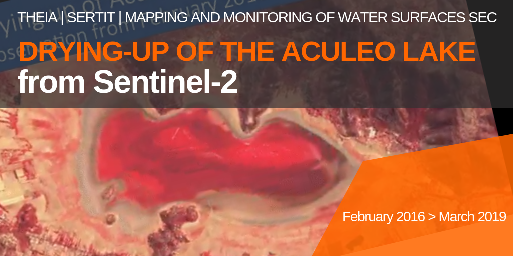
Drying-up of Aculeo Lake (Chile)

The SERTIT team, member of the Theia ‘Mapping and Monitoring of Water Bodiess’ SEC used Sentinel-2 data to document the gradual disappearance of Lake Aculeo, near Santiago, Chile, between February 2016 and March 2019.

The 12 km2 lake, which was 12 km2 deep and 6 m deep in 2011, rapidly declined under the combined pressure of a long drought, tourism and real estate development on its shores and over-consumption of water from its tributaries by large agro-industrial plantations.

The lake level has been at zero since May 2018.

More news

Two THEIA LiDAR tools for forest monitoring

On this International Day of Forests, for which innovation has a major role to play in 2024, we are highlighting two tools dedicated to the management of aerial LiDAR data […]

SWOT data that exceeds expectations

The SWOT space mission was launched at the end of 2022 by CNES and NASA to document the water masses of the entire planet – oceans and continental waters. Data […]

Albédo Sentinel 2 THEIA pur l'Île-de-France, juin 2022

Measuring the albedo of mainland France from Sentinel-2

THEIA’s Albedo team has developed a method for calculating high-resolution (HR) albedo using Sentinel-2 data. The method has already been used as part of the Copernicus Global Land Service program, […]

Search