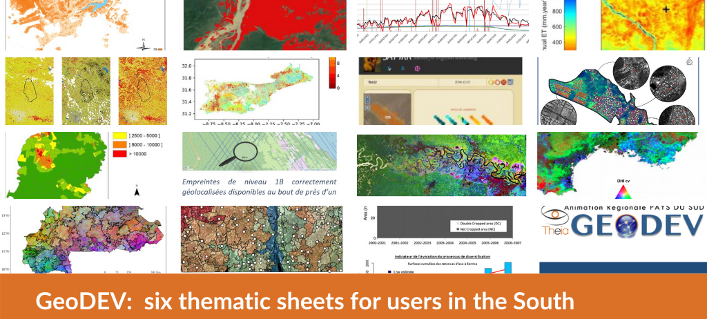
GeoDEV: six thematic sheets for users in the South
Theia GeoDEV regional animation network (RAN) has started, with the support of La Téléscop, the drafting of a series of educational thematic sheets designed with the expectations of users of Theia thematic products in mind. Each one lists the offered Theia products and their answer to major concrete questions – monitoring of forests, urbanisation, flooding, prevention of vectorial diseases, floods, landscape determination, etc.
The thematic sheets, drawn up with the researchers who developed the products, provide synthetic and accessible information on the concrete use of the products. In line with Theia GeoDEV RAN’s geographical focus, these sheets favour examples of use in Southern countries and overseas territories.

Six thematic sheets have already been produced:
- Floods GeoDEV sheet: «Detecting and monitoring water bodies and volumes».
- Artificial Spot GeoDEV sheet : «Monitoring and identifying vulnerable housing».
- Forest resource management GeoDEV sheet : «Monitoring forests and biodiversity indices».
- Vector-borne diseases GeoDEV sheet : «Monitoring the epidemiological risk of dengue fever in urban areas».
- Agricultural Irrigation GeoDEV sheet : «Measuring and managing water use in cultivated areas».
- Land use & landscape GeoDEV sheet : «Segmenting space through landscapes».
All the sheets are available for download in French in the Ressources area of the GeoDEV website.