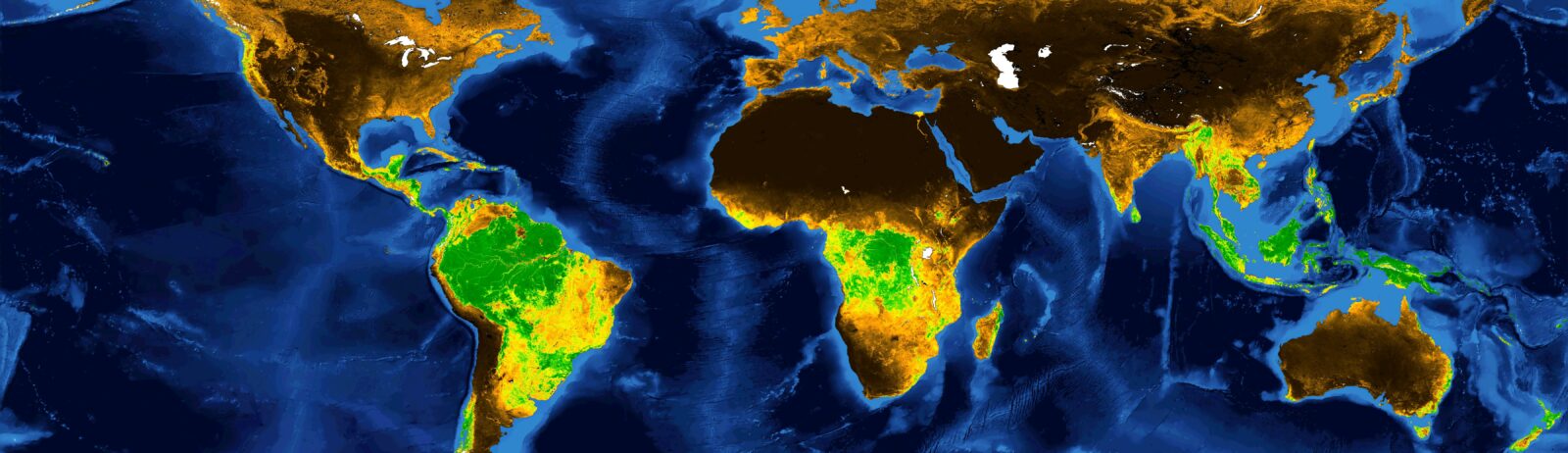
GEOV2-AVHRR: 2020 data now available

Theia GEOV2-AVHRR product documents vegetation at global level since 1981. The 2020 data have just been released by the CNES, the French Spatial Agency, in the context of Theia Vegetation biophysical variables SEC.

2020 AVHRR Vegetation data (LAI, FAPAR, FCOVER) are thus now available on postel.theia.cnes.fr.

One year of LAI data (2020) – representing at each date (3 images per month) the vegetation cover in relation to the ground surface – gives indications on the exchange of energy, water and greenhouse gases between the land surface and the atmosphere.

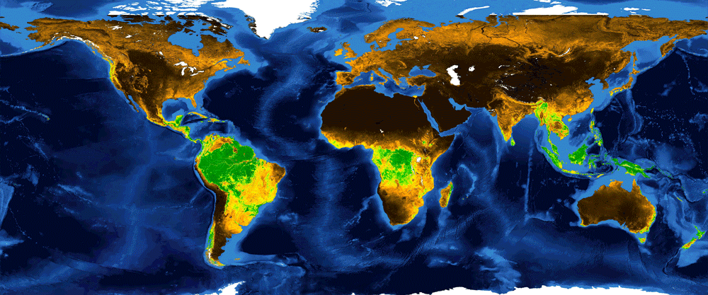
These different data are part of the remotely sensed Essential Climate Variables (ECVs) identified by the Global Climate Observing System (GCOS) in 2010. The importance and content of the AVHRR archive were described in detail in an article in Theia Bulletin 14. The archive is distributed under an Etalab V2.0 licence.

Many thanks and love to Philippe PACHOLCZYK who lead the production of these data at CNES and takes its retirement by the end of November 2021.

More news

Two THEIA LiDAR tools for forest monitoring

On this International Day of Forests, for which innovation has a major role to play in 2024, we are highlighting two tools dedicated to the management of aerial LiDAR data […]

SWOT data that exceeds expectations

The SWOT space mission was launched at the end of 2022 by CNES and NASA to document the water masses of the entire planet – oceans and continental waters. Data […]

Albédo Sentinel 2 THEIA pur l'Île-de-France, juin 2022

Measuring the albedo of mainland France from Sentinel-2

THEIA’s Albedo team has developed a method for calculating high-resolution (HR) albedo using Sentinel-2 data. The method has already been used as part of the Copernicus Global Land Service program, […]

Search