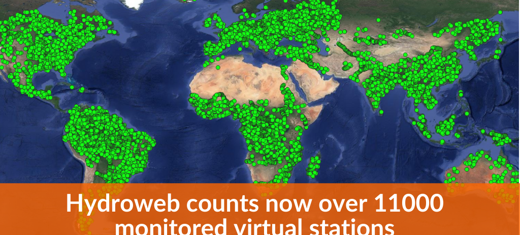
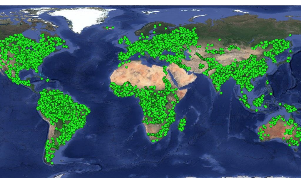
Hydroweb counts now over 11000 stations

Early November 2020 a new version of Hydroweb has significantly increased the number of operationally monitored virtual stations over rivers, from 1733 to 11336 stations.

Location of the 11336 Hydroweb Monitored Virtual Stations worldwide

A selection in the online interface based on the station validation flag has been added. This flag indicates how the water surface height time series were validated : automatic statistical criteria « AUTOMATIC », validation by experts « EXPERT », or comparisons with in situ data « INSITU ».

More news

Publications

GEOV2-AVHRR: the 2021 version is available

The GEOV2-AVHRR product has been updated for the year 2021. This means that 40 years of global vegetation data are now available. 

02.03.2023

Publications

Digital Soil Mapping: educational resources and property maps

Theia Digital Mapping SEC offers new educational resources and Soil Properties Maps.

19.08.2022

Publications

Theia innovates for the processing and dissemination of hydrological data

Flavien GOUILLON & Lionel ZAWADZKI from CNES gave an update on the evolution of the Theia data and services infrastructure to meet the needs of hydrological data processing and dissemination.

12.08.2022

Search