
Presentation
Theia Mapping and Monitoring of Water Bodies Scientific Expertise Centre (SEC) brings together teams from ICube – Sertit, Unistra, Legos, GET-Obs MidPyr and Université du littoral Coast that develop mapping of the extent, inter/intra-annual variability and dynamics of water bodies. The users are managers of water resources and of ecosystems.
The product resulting from the Mapping and Monitoring of Water Bodies SEC is updated with a weekly to monthly frequency. It is multi-scale (up to 1: 25,000, surface unit of 30m*30m) and covers the equivalent of two to six Sentinel 2 tiles, from the national territory to selected foreign territories.
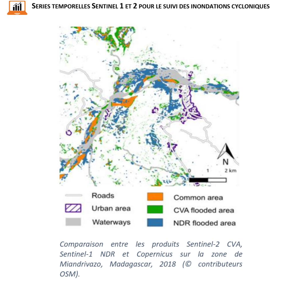
The data used are Sentinel 1, Sentinel 2 and high-resolution time series with a relatively high revisit frequency (Landsat 8, Venμs, SPOT 4/5 Take5, SWH).
Schedule:
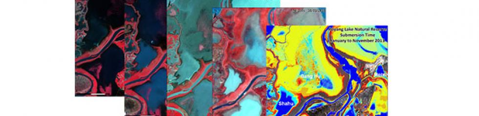
- 2016-2017 : demonstrator on Alsace-Lorraine and Poyang (China) sites
Contact

Hervé Yesou
SERTIT
@H.Yesou