News about the Spot World Heritage Programme
The programme objective is the free availability for non-commercial use of orthorectified products derived from multispectral images of more than 5 years old from the Spot 1-5 satellites family.
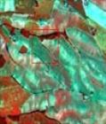
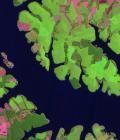
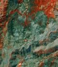
Nearly 30 million images have been acquired by this satellite family since 1986, this archive may be considered as a world heritage, whose access will be facilitated through this programme.
CNES, the French Space Agency has announced on January 17, 2014 the opening of the Spot World Heritage (SWH) programme in front of the GEO Plenary Assembly in Geneva. The announcement has been made in the framework of a partnership agreement between CNES and Airbus Defence and Space through its Geo-Intelligence Division (formely known as Spot Image).
Raw images will be first processed to the orthorectified level, that is, superimposable to a geographic map and integrated into a GIS, before they are made available to users.
The January 17 announcement was that of the opening of the programme with the start by CNES of the processing of a first batch of 100,000 images. The announcement was also motivated by the willingness to solicit the international institutional community in order to contribute to other large image batches while covering the processing costs.
The construction of SWH relies on that of a unique database of orthorectified data, which will be hosted by CNES on the infrastructures of the THEIA Land Data Centre, and which will comprise large image batch orders from CNES as well as from outside contributors from the international institutional community.
The access to the SWH database will be made freely from the Theia portal (www.theia-land.fr) and will be allowed for any user registered for a non-commercial usage. The first products should be available in September 2014.