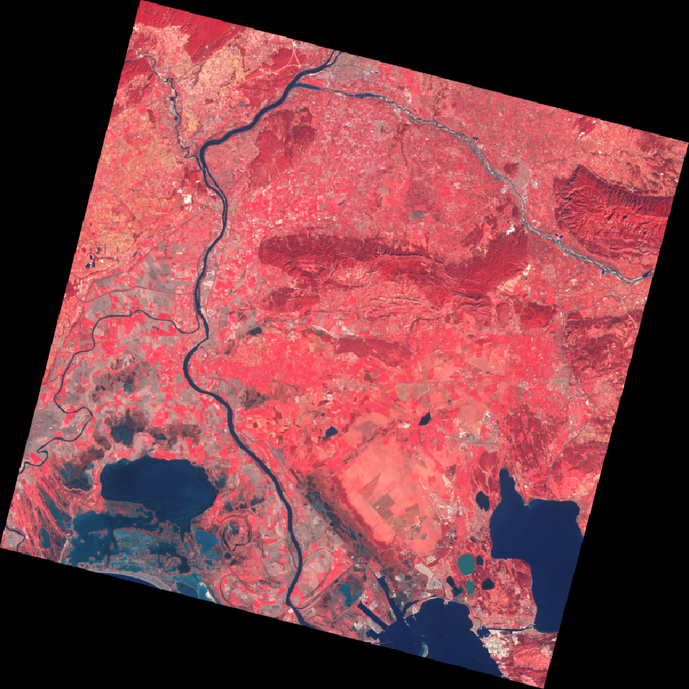
The Spot World Heritage (SWH) service opens today, Tuesday 23 June 2015. 15 000 images on metropolitan France acquired between 1998 and 2008 are available free of charge here for any user of any nationality, public or private, as long as the usage of images has a non-commercial character.
This is only a beginning. The ambition of the SWH programme is wide: it is to make available to the public all useful images acquired by the Spot 1 to 5 family of satellites over the whole globe for nearly 30 years, from 1986 to 2015, numbered in million images.
SWH is a programme of Centre National d’Etudes Spatiales (CNES) made in cooperation with Airbus Defense and Space (ADS). It has been announced by France at the GEO Plenary Session in January 2014 in Geneva. CNES has committed then to process 100 000 images to start the programme, and at the same time launched a call to interested institutions to contribute to the programme in cooperation with CNES by processing large image batches on areas of their choice to enrich the SWH data base.
The processing of a first batch of 200 000 images to transform them from raw archive to useable orthorectified images is ongoing gradually. Beyond the 15 00 images available today, by the end of the year about half of this first batch which concentrates mostly on France (metropolitan + oversees departments) should be available. The SWH programme will continue with new image batches processed by CNES and also relying on national partners (IRD) or international (in charge in particular of direct reception stations).
We use cookies to ensure that you have the best experience on our website. If you continue to use this site, we will assume that you are satisfied with it.OkNoPrivacy Policy