Access to software and data
Presentation
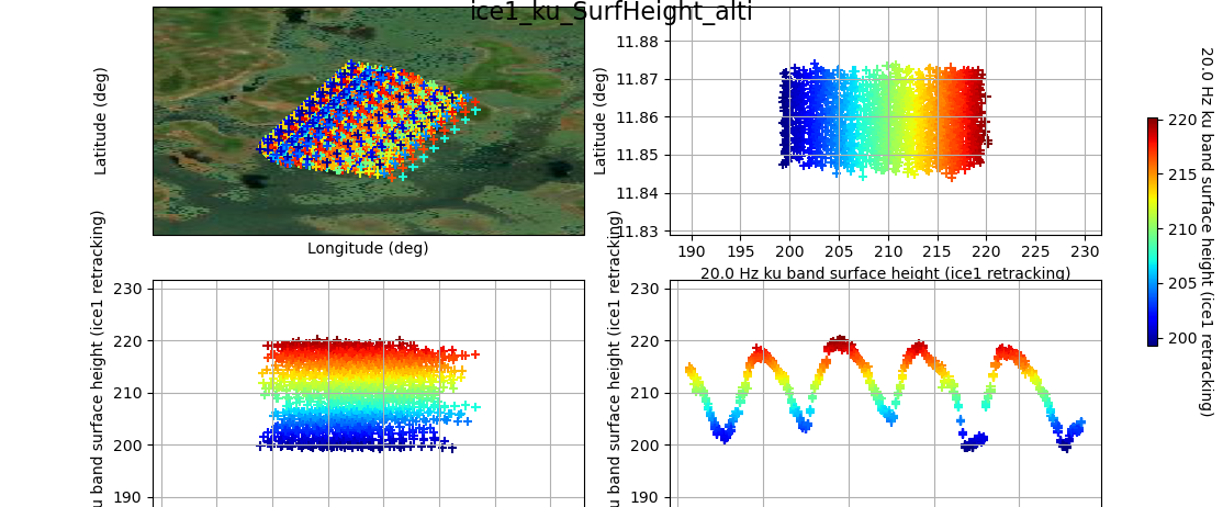
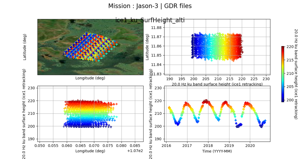
AlTiS (Altimetry Time Series) is a radar altimetry data visualisation and processing software developed to create time-series of water levels over inland water bodies (e.g., lakes, reservoirs, rivers, floodplains and wetlands). It has been developed by Centre de Topographie des Océans et l’Hydrosphère (CTOH).
Through its graphical user interface, it allows :
- The display of numerous parameters related to the altimeter measurement – height, range, corrections to apply to the range to take into account the delays caused by the propagation of the electromagnetic wave in the atmosphere (ionosphere, wet and dry tropospheres) – and of the radar echo – backscattering coefficient, waveform peakiness,
- The manual selection of the valid altimetry measurements with the help of high resolution image from Landsat displayed as background,
- The creation of the time series of water levels.
Data from the following radar altimetry missions can be processed using AlTiS : Jason-1/2/3, ERS-2, ENVISAT, SARAL, Sentinel-3A/B, et, bientôt, Sentinel-6/Jason-CS.
It is available on GitLab.
Data are made available upon a request form.
This development is part of the Surface Water Volumes of Floodplains SEC work schedule.
Contact

Frédéric Frappart
INRAE | LEGOS
ResearchGate
@F.Frappart
Reference
Frappart, Frédéric & Blarel, Fabien & Fayad, Ibrahim & Bergé-Nguyen, Muriel & Cretaux, J. & Shu, Song & Schregenberger, Joël & Baghdadi, Nicolas. (2021). Evaluation of the Performances of Radar and Lidar Altimetry Missions for Water Level Retrievals in Mountainous Environment: The Case of the Swiss Lakes. Remote Sensing. 13. 2196. 10.3390/rs13112196.