Tool access
All codes, installation instructions and a biodivMapR tutorial are available on a dedicated web page:
jbferet.github.io/biodivMapR/index.html
Presentation
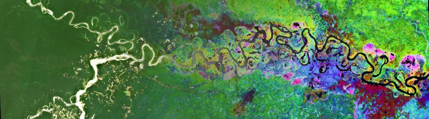
biodivMapR is a package developed in R language to produce biodiversity indicator maps from information derived from optical imaging data. The calculated diversity indicators are associated with the α and β components of biodiversity and make it possible, in particular, to map indicators of richness and abundance, such as the Shannon index, and indicators of species community distribution expressed by Bray-Curtis dissimilarity.
These diversity indicators are calculated from the spatial heterogeneity of spectral information (Spectral Variation Hypothesis) and have shown good agreement with information collected in the field using forest inventories.
biodivMapR builds on the demonstrated potential of optical imaging data to estimate biodiversity indicators in tropical forest environments. Notably, airborne hyperspectral imagery data have been used in several independent research studies and are currently being used in national ecological observatories. The availability of Sentinel-2 multispectral optical data allows the transposition of existing methods for monitoring on a regional scale to be considered. This is what biodivMapR proposes. Although initially developed for the study of tropical forests, its application to other types of environments is also possible.
Providing information on essential variables for biodiversity
By contributing to the effective monitoring of ecosystems and the operationalization of monitoring methods with the support of available Earth observation means, biodivMapR contributes to the work of the Variables for Biodiversity SEC. The Essential Variables for Biodiversity (EBVs), defined by GEO-BON, aim to document the various factors at work in the erosion of biodiversity, which is particularly marked and worrying in tropical forest environments
Contact

Jean-Baptiste Féret
INRAE | TETIS
@JB.Feret

Florian de Boissieu
INRAE | TETIS
References
The initial method is presented in the following publication:
Féret, J.-B., Asner, G.P., 2014. Mapping tropical forest canopy diversity using high-fidelity imaging spectroscopy. Ecol. Appl. 24, 1289–1296. doi.org/10.1890/13-1824.1
Developments in the method and operation of biodivMapR are presented in the following publication:
Féret, J.-B., de Boissieu, F., 2019. biodivMapR: an R package for α- and β-diversity mapping using remotely-sensed images. Methods Ecol. Evol. 00:1-7. doi.org/10.1111/2041-210X.13310
The development of biodivMapR was made possible by the financial support of the CNES TOSCA funding program (HyperTropik and HyperBIO projects) and the French National Research Agency (BioCop project-ANR-17-CE32-0001).