Data Access
Product presentation
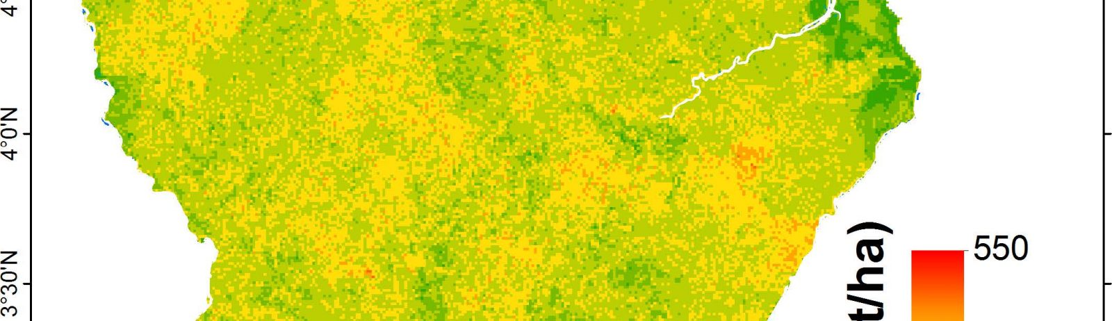
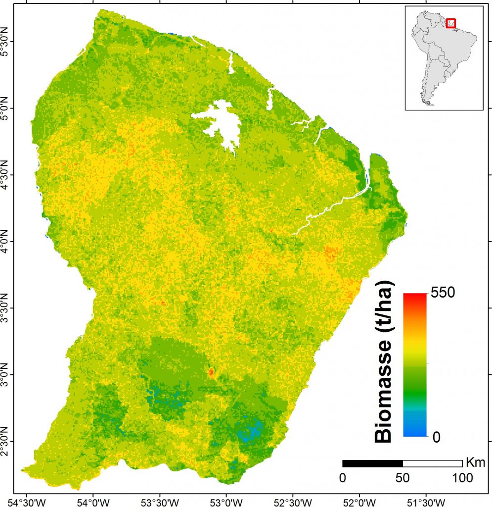
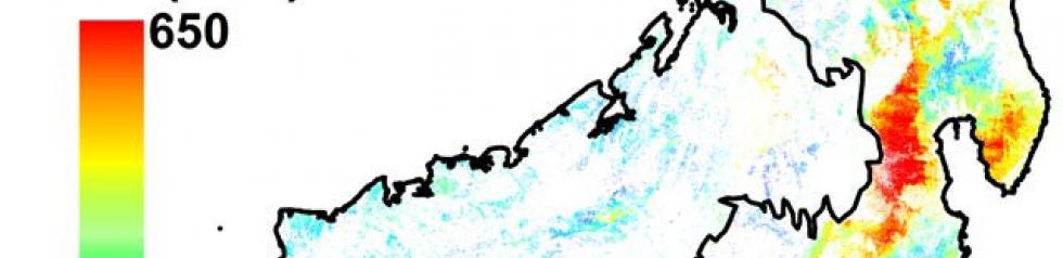
Theia biomass map for French Guiana has been obtained using the data fusion of LiDAR, radar, optical and other environmental datasets. The precision of the map by comparison to field estimates is around 50 Mg/ha (Mean absolute percentage error = 12%).
Authors : Ibrahim Fayad (Irstea), Nicolas Baghdadi (Irstea), Stéphane Guitet (ONF), Jean Stéphane Bailly (AgroParisTech), Nicolas Barbier (IRD), Valéry Gond (CIRAD), Bruno Hérault (CIRAD), Mahmoud El Hajj (Noveltis), Frédéric Fabre (Astrium/EADS), José Perrin (BRGM)
Thanks : IRSTEA, CNES (TOSCA), BRGM, CIRAD, IRD, CNRS, Noveltis, Astrium/EADS, NSDIC (National Snow and Ice Data Center for the distribution of the ICESat/GLAS data),ONF.
References
Fayad I., Baghdadi N., Guitet S., Bailly J.S., Hérault B., Gond V., El Hajj M., and Ho Tong Minh D., 2016. Aboveground biomass mapping in French Guiana by combining remote sensing, forest inventories and environmental data, International Journal of Applied Earth Observation and Geoinformation, vol. 52, pp.502-514, http://dx.doi.org/10.1016/j.jag.2014.04.005.
Forest biomass map in French Guiana / Fayad, I., Baghdadi, N., Guitet, S., Bailly, J.-S., Barbier, N., Gond, V., Hérault, B., El Hajj, M., Fabre, F., Perrin, J. (2018). Forest biomass map in French Guiana. Irstea. https://doi.org/10.17180/forest-biomass-fr-guiana-map-2016
Contact

Nicolas Baghdadi
INRAE | Tetis
ResearchGate
Contributions
Format
Metadata
GeoTIFF raster
NoData: -9999
EPSG: 32622
Resolution: 1000 m
Pixel type: double precision (64 bits)
Data years
ICESat: 2003-2009
BRGM: 1996
Altoa: 2004-2009
Optical data : 2003-2013
SRTM: 2000
Geological data: 2001
All Biomass Products
Products
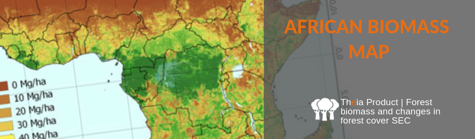
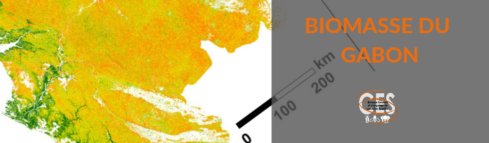
African Biomass Map
Products
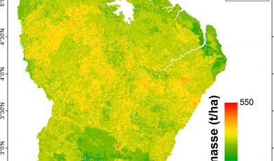
Biomass for French Guiana
Products
Biomass for Madagascar
Products