Data Access
Presentation
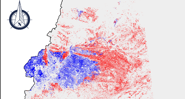
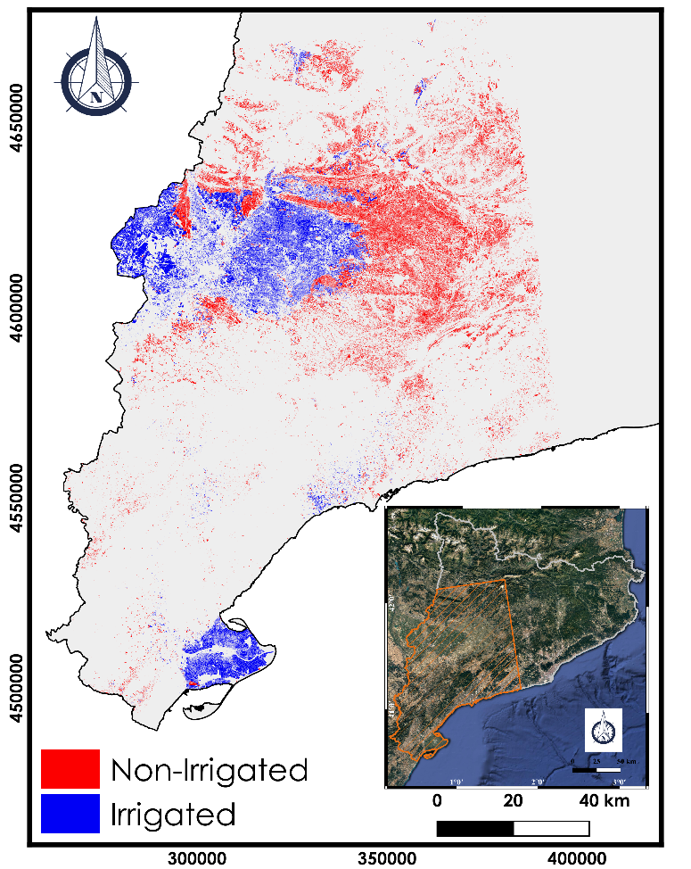
An irrigation map over an important part of Catalonia region of Spain have been realized over the year 2018. This map have been obtained using the Sentinel-1 multi-temporal data (September 2017 and December 2018). The classification is based on the Convolutional Neural Network approach.
The classification of irrigated/non-irrigated parcels have been realized only over winter and summer agricultural plots.
The limits of the parcels used are defined using the SIGPAC (Geographical Information System for Agricultural Parcels) database .
The SIGPAC database provides us also with the land cover and the irrigation information over the parcels. The precision of the obtained map reaches 94% when compared to the terrain database of SIGPAC data.
Authors
Hassan Bazzi (INRAE), Nicolas Baghdadi (INRAE), Dino Ienco (INRAE), Maria Jose Escorihuela (isardSAT)
Acknowledgments
INRAE, CNES (projet Tosca) for financing the work, the European Space Agency for providing the Sentinel-1 and Sentinel-2 data, Theia pole for the calibration of the Sentinel-2 images (Olivier Hagolle and his team of CNES),and the « General Direction of Rural Development of the Department of Agriculture, Livestock, Fishing and Food of the Generalitat of Catalunya » for providing the SIGPAC database
Format
The irrigation ma pis provided in two formats:
- Vector “Shapefile”: Value 1 for Irrigated plotand 0 for Non-Irrigated plot
- Raster GeoTIFF file
The projection system of the provided data (vector and raster) is ETRS89/ UTM zone 31N (EPSG 3043)
Date of data
Sentinel-1: Temporal Series from September 2017 – December 2018
SIGPAC data: 2018
References
Bazzi, H.; Baghdadi, N.; Ienco, D.; El Hajj, M.; Zribi, M.; Belhouchette, H.; Escorihuela, M.J.; Demarez, V. Mapping Irrigated Areas Using Sentinel-1 Time Series in Catalonia, Spain. Remote Sens. 2019, 11, 1836.
Contact

Nicolas Baghdadi
INRAE | Tetis
ResearchGate
Contributions

Hassan Bazzi
INRAE | Tetis
ResearchGate


