Data access
Presentation
The AMMA project is a R&D project performed in the POSTEL framework. AMMA is a scientific project for the study of the African Mousson, financed by European (FP6) and national funding. POSTEL acts as a provider in near real time of Land SAF satellite products derived from the Meteorological Institute of Portugal and customized to satisfy the needs of the AMMA community : surface albedo, surface temperature, downwelling shortwave and longwave radiation fluxes, and vegetation index.
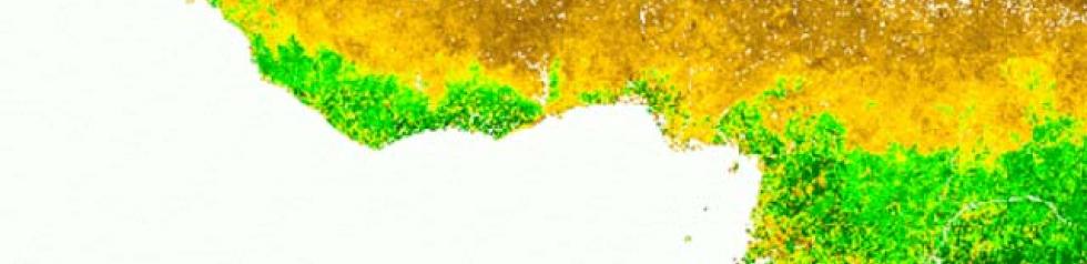
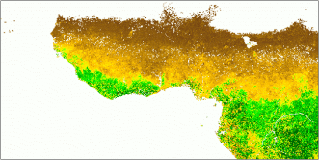
In the frame of AMMA (African Monsoon Multi-disciplinary Analysis) project, Postel customise existing LAI products in order to standardize them in terms of projection, spatial resolution, and area coverage, and to make them easier to use by modellers community. Consequently, customisation consists in resampling products on pre-defined grids, and extracting areas of interest, which are :
- West Africa : from 25°W to 25°E, from 5°S to 20°N
- Atlantic : from 60°W to 40°E, from 35°S to 35°N
Format
Postel a generated customized LAI products, which can be downloaded with their readme files. These products are :
- monthly C4.1 MODIS LAI (2000-2006) (MOD15_BU_1KM) provided by Boston University, resampled on a regular grid at 0.01° resolution over “West Africa” area
- monthly LAI AVHRR (1981-2001) from PATHFINDER AVHRR Land (PAL), provided also by Boston University, resampled on a regular grid at 0.25° resolution over “Atlantic” area
- 10-day POLDER-1 (1996-1197) and POLDER-2 (2003) LAI, resampled on a regular grid at 0.05° resolution over “West Africa” area.
These products are also available through the AMMASAT database in NetCDF format.