Data access
Presentation
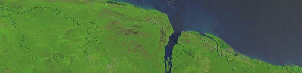
Landsat satellites have been supplying data with a resolution of 30 metres for 30 years. During this time, data covering the whole planet have been regularly acquired with a revisit frequency of 16 days. While the repetitiveness and resolution of Landsat satellites is now supplanted by Sentinel-2, Landsat images allow multi-temporal analyses to be performed over a very long period of time, since the mission began in 1972. This is why the Theia thematic cluster has decided to provide its users with the Landsat data acquired for the whole of France since 2009.
Landsat products are provided by Theia in surface reflectance (level 2A) with cloud masks, the processing being performed with the MAJA algorithm developed at Cesbio. They are orthorectified and cut on the same tiles as Sentinel-2 products.
Contact

Olivier Hagolle
CNES|CESBIO
ResearchGate
@O.Hagolle
Contributions
Level
Level 2A : data ortho-rectified surface reflectance after atmospheric correction, along with a mask of clouds and their shadows, as well as a mask of water and snow.
Satellite
Name : Landsat-5, Landsat-7 and Landsat-8
Imaging mode : optical
Spectral bands : 8 Spectral bands from visible to mid-infrared
Resolutions : 30 m (multispectral)
Observation capability :
- Swath : 185 km
- Revisit : 16 days
Coverage :
- Area : Time series for France
- Period : 2009 – 2011 Landsat 5 et 7
2013 – présent for Landsat 8
For more information see landsat.gsfc.nasa.gov
Format
MAJA Algorithm Theoretical Basis Document (ATBD)
The TAR file distributed by Theia contains 4 files and MASK directory.
The 4 files provide the following information :
- An XML file (as in Level 1C)
- Two .TIF files in GeoTiff format that provide surface reflectances, corrected from atmospheric effects, including adjacency effects (ORTHO_SURF_CORR_ENV, not provided for LANDSAT) and even terrain effects (ORTHO_SURF_CORR_PENTE).
- the AOT TIF file provides the estimates of Aerosol Optical Thicknesses (AOT)
The mask directory provides :
- A saturated pixels mask _SAT.TIF (as in Level 1C)
- A saturated pixel mask _SAT.TIF, with an 8 bit information
- A mask of clouds and cloud shadows _NUA.TIF
- Diverse binary masks : water, snow and no_data mask, plus (V2.0) pixels lying in terrain shadows _DIV.TIF
For more information, see Landsat Product Format.
License
The Landsat level 2 or 3 data distributed by THEIA are subject to the open ETALAB V2.0 license available here: Français | English.