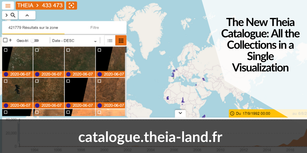
The New Theia Catalogue: All the Collections in a Single Visualization
As early as 2013, Theia had put on its road-map the implementation of a single web mapping interface allowing a centralized search and visualization of all collections. The need for an equivalent tool for the Dinamis offer made it possible to pool resources and launch a joint development.
This new Theia catalogue, developed by Thales and Gisaïa and available since June 2020, collects therefore all existing IDSs to provide access to all Theia collections that allow it.
A full-developed research tool
This “meta-catalogue” provides a detailed search by theme, by collection, by sensor, by geographical area, by time range and by statistical distribution.
The development was guided by the concern to make the user interface ergonomic and easy to use. The device is intended to be evolutive in order to integrate all future collections that will be added to the Theia portfolio.
At the users’ side
The original catalogues (Hydroweb, Theia.cnes, Geosud, Thisme) are still accessible and the products remain physically stored on these catalogues. But to facilitate access to the products, downloads are directly possible from the “meta-catalogue”. The user only has to enter his or her identifiers in the original product catalogue, which is easy thanks to the unique identification set up in the Theia consortium. To assist the users’ first steps, a series of six video tutorials is available on Theia YouTube channel.
Spatial imaging products (Spot, Pléiades, etc.) are also grouped together in the unique Dinamis catalogue.
Access the catalogue
A series of video tutorials
Contact

Arnaud Sellé
Cnes
LinkedIn