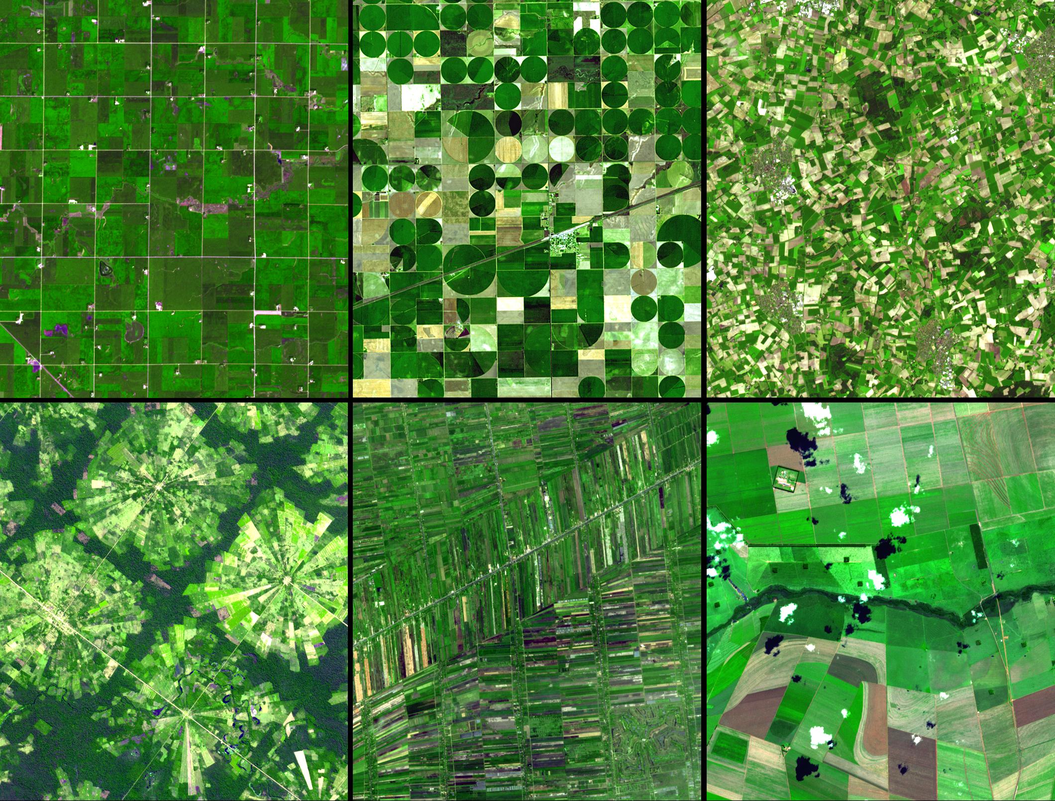
Challenges

The most recent global outlook for 2050 by the Food and Agriculture Organisation (FAO) indicates that the population is going to grow considerably in the coming decades. By 2050, world agricultural production will need to have increased by around 70% compared to that of 2005 (FAO, 2011). Around 80% of this increase should come from a growth in yield and intensification, such as increasing the number of crop cycles per year and/or shortening the fallow periods.
These developments need to counter climate change (characterised by the variability in precipitation and an increasing number of extreme events), its consequences (a change in the distribution of plants and vector-transmitted diseases in addition to greater variability in crop yield), the competition for land (increased competition between food and bioenergy production), and finally related environmental pressures such as overexploitation of water in soil, deteriorating water quality and soil degradation. Consequently, in addition to the need to increase agricultural production, the main challenge facing this sector will be to improve the management of natural resources, especially by implementing more eco-friendly practices like ecological intensification or conservation agriculture.
Under such circumstances, there is a wide range of remote sensing applications for the farming sector:
- monitoring crops on a regional or global scale for markets;
- monitoring crops in high-risk countries for food supply needs;
- mapping land cover and use, along with their evolution for public policy-making and environmental issues;
- the estimation of biophysical variables for precision farming, phenotyping and both carbon and water budgets;
- mapping farming practices and crop systems in order to model crops and environmental issues.
Research issues
The scope of each application raises a number of research issues.
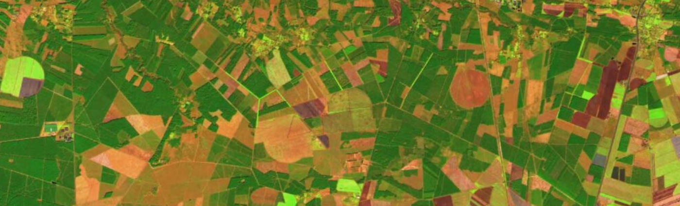
- Mapping cropped land, crop groups (winter or summer crops, for example) and crop species. Due to variability in farming practices and growth conditions, but especially due to synchronous cropping calendars, the mapping of cropped species remains an area of research. This is particularly true in regions of the world where fields are small and crops heterogeneous (mixed crops and different crops on the same plot). New methods, such as the object-oriented approach or use of multi-temporal, multi-source data are being investigated to improve crop mapping. Finally, another focus for research is the integration of agricultural statistics in order to estimate cropped surface areas through remote sensing resources.
- Crop monitoring: on regional and global scales, crop monitoring is mainly based on the analysis of time series of the normalized difference vegetation index (NDVI) which is used to detect growth anomalies. Currently, the GEOGLAM project supplies more informative maps with maps on crop phenology, growth conditions per region and associated climate factors for the main commercial crops worldwide—wheat, maize, rice and soya. However, a substantial research effort is required to monitor crops in high-risk countries.
- Estimation of crop yield: there is currently no operational system for estimating yield using remote sensing resources on a detailed scale. On a European scale, approaches have been developed within ISPRA to manage the stocks of major crops by large-scale forecasts using low-resolution remote sensing data combined with crop models (follow the links for more details: http://mars.jrc.ec.europa.eu/mars/About-us/AGRI4CAST or https://ec.europa.eu/jrc/en/research-topic/crop-yield-forecasting). On a regional scale, this absence may be explained by the lack of time series of decametric imagery. Various lines of research will need to be re-examined in the light of Sentinel-2 data, including the use of empirical relations with field data or statistical data, a simplified Monteith, or coupling with plant models.
- Estimation of biophysical surface variables: e.g. leaf area index (LAI), net primary production (NPP), the fraction of absorbed photosynthetically active radiation (fAPAR), nitrogen content, chlorophyll content and water content in plants.
- Estimation of environmental variables: e.g. soil type and humidity.
- Cropping systems and farming practices: research is being developed in order to use remote sensing techniques to map the organisation of land parcels in space (parcel size and diversity of crops grown there) and identify farming practices (e.g. determining the sowing date, the main fertiliser or water inputs and the number of crop cycles per year).
Some Theia products


Relevant SECs
Scientific expertise
Albedo
Scientific expertise
Digital Soil Mapping
Incubating SEC
Drought SEC
Scientific expertise
Evapotranspiration
Incubating SEC
Irrigation SEC
Producing SEC
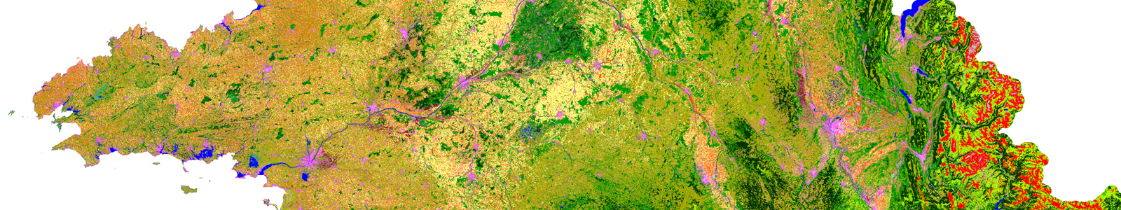
Land cover SEC
Incubating SEC
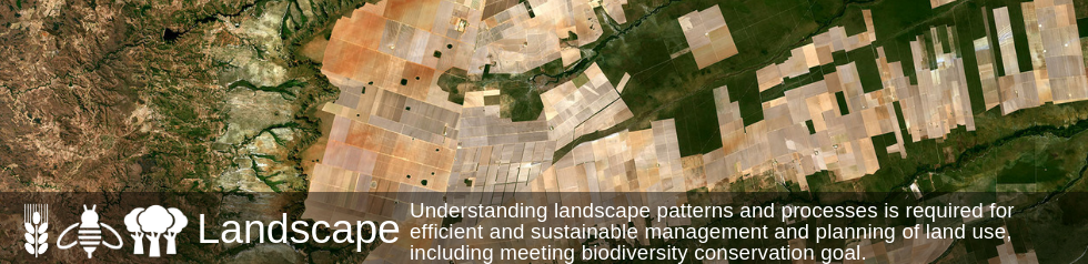
Landscape SEC
Producing SEC
Risks associated with infectious diseases SEC
Producing SEC
Soil moisture with very high spatial resolution SEC
Scientific expertise
Surface Reflectance
Producing SEC
Surface Soil Moisture SEC
Scientific expertise
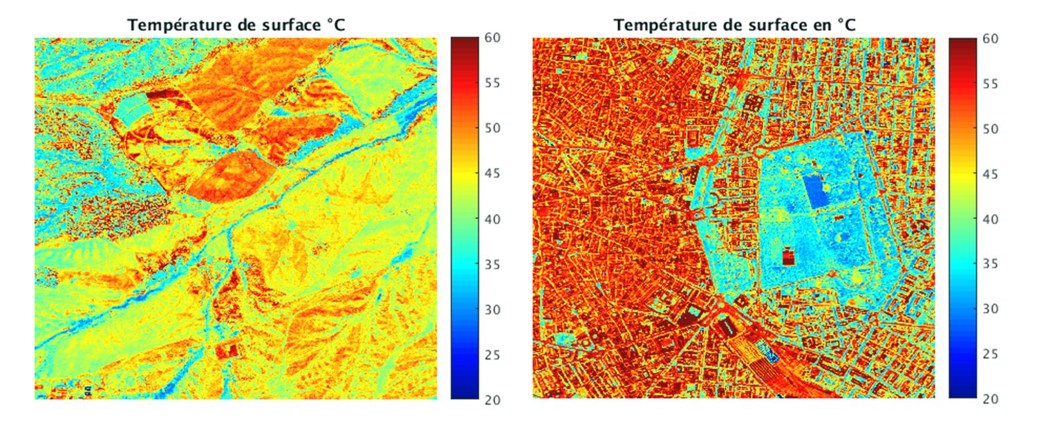
Surface Temperature and Emissivity
Scientific expertise
Variables for Biodiversity
Scientific expertise
Vegetation biophysical variables
Scientific expertise
Vegetation Optical Depth
Theia News on Agricultute
Products
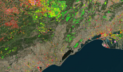
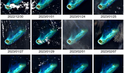
OSO 2023 Data : a little more patience ahead
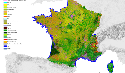
THEIA Land Cover product is produced each year by CESBIO and CNES. It provides a 24-class typology of land cover, downloadable by department for mainland France. Production begins in January […]
News
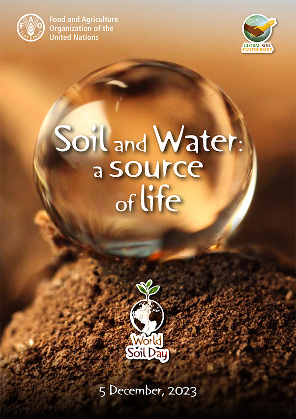
[World Soil Day] THEIA tools for documenting soil-water interactions
On December 5th, the international community dedicates World Soil Day to raising awareness of the importance of soil quality and health for the proper functioning of ecosystems and agricultural production. […]
Theia Regional Animation Network
A new GeoDEV website, with resources tailored to your profile
The website of the ART GeoDEV, the Theia Regional Animation network that CIRAD, IRD and CNES have been leading since 2017 in the direction of Southern countries, is evolving to […]

SCO
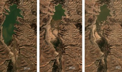
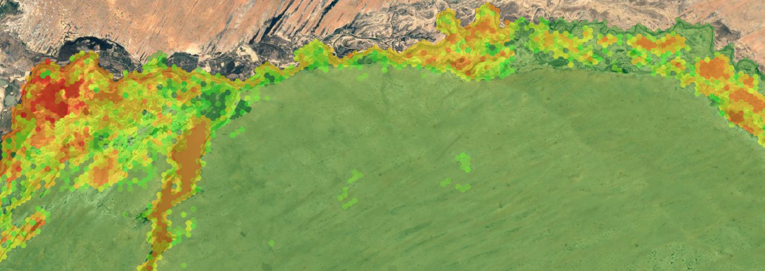
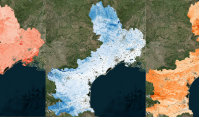
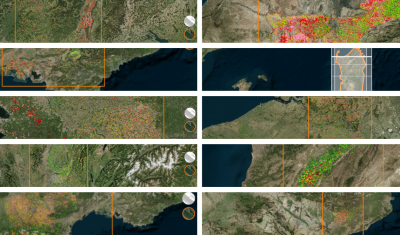
SPace4Irrig | Mapping of irrigated and non-irrigated crops
Within the framework of the SPace4Irrig project, labelled Space Climate Observatory,CESBIO and MEOSS have developed a detection model for irrigated and non-irrigated plots, adapted to field crops. This project is […]
Agenda
April 23-28, 2023 | Data Terra and Theia at EGU
The General Assembly of the EGU 2023, gathering all the scientists of the life of the Earth, will be held in Vienna (Austria) from April 23 to 28. DATA TERRA’s […]
News
DISCOVER VENUS M5 PRODUCTS NOW AVAILABLE ON THEIA
VENµS M5 reflectance products are now available through Theia with over 100 documented sites worldwide.
Publications
Digital Soil Mapping: educational resources and property maps
Theia Digital Mapping SEC offers new educational resources and Soil Properties Maps.
Agenda
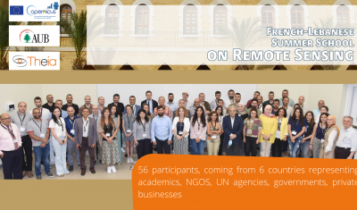
Huge Success for the French-Lebanese Summer School on Remote Sensing
Theia-AUB Summer School in Beirut has been a huge success. All presentation and teaching material are now on-line.
Data Terra
“What motivates my interest in THEIA, but also in the very idea of data consortia, are the ever-changing activities and the associated challenges.”
Arnaud Sellé, CNES-Partner Interoperability Manager for DINAMIS, Theia & ForM@Ter, gives us his vision of Theia contributions and challenges.
Agenda
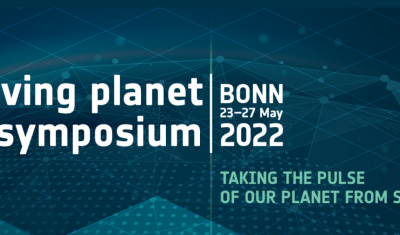
Theia programme at Living Planet Symposium
Go to Bonn with Theia’s Living Planet programme in your pocket!
Publications
[Just Released] Theia Bulletin N°16
>>>News from the network: Nomination of Anne Puissant as Theia new Scientific Director; Theia workshop on irrigated areas; Trishna Days ; GAIA Data and Terra Forma Kick-Offs, Critical Zone Award, […]
PhD & PostDoc
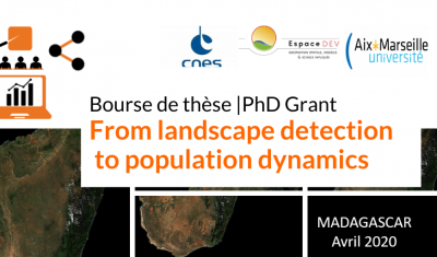
[PhD grant] From Landscape detection to population dynamics
CNES is offering a PhD grant for a project aiming to improve knowledge of human population dynamics in rural areas through the recognition of landscape indicators derived from high-resolution image processing.
Publications
Do you know the SCO?
The SCO facilitators discuss the Space Climate Observatory project, through which several THEIA SECs and RANs projects have been labelled.
Publications
Providing key information for environmental studies to document changes and trends
Meet with Silvia Valero, the new facilitator for Theia Land Cover SEC. She shares here her ambitions and expectations.
Publications
Half VHRS Soil Moisture series updated
Up to 10 series documenting soil moisture at plot-level every six days have been recently updated.
SCO
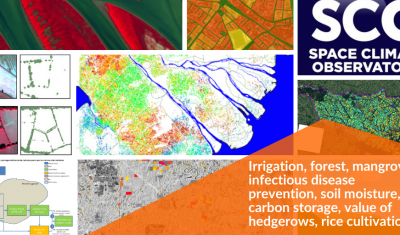
Theia projects with the SCO label: an ever-growing list
Irrigation, forest, mangrove, infectious disease prevention, soil moisture, carbon storage, value of hedgerows, rice cultivation… Update of SCO projects related to Theia SECs and RANs.
Jobs
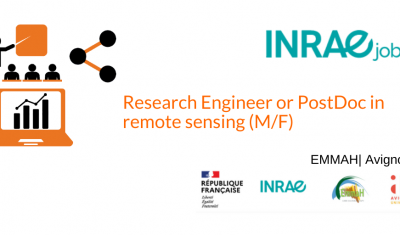
Research Engineer or PostDoc in remote sensing (M/F)
Come and work on a Theia product dedicated to Vegetation Biophysics Variables !
Publications
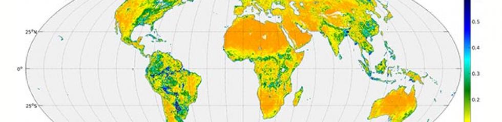
GEOV2-AVHRR: Monitoring Changes in Vegetation on a Global Scale over the last 38 Years
Long-term global monitoring of the terrestrial biosphere has raised an increasing interest in recent years. The Global Climate Observing System (GCOS 2010) identified a set of Essential Climate Variables (ECV) […]
Publications
SMOS L4RZSM, an operational product dedicated to root zone humidity
Discover or rediscover the Root Zone Moisture product developed at Cesbio from SMOS data for Theia Surface Soil Moisture SEC.
Publications
Just released Theia Bulletin n°14
Read Theia Bulletin n°14 and all the news from the network.
Publications
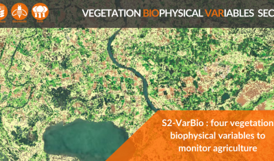
S2-VarBIO: four biophysical variables to monitor crops and vegetation
The first S2-VarBio demonstration products are now available on Theia.
Publications
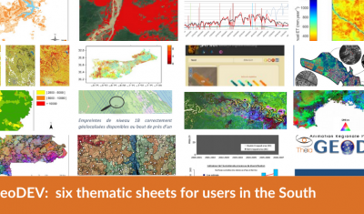
GeoDEV: six thematic sheets for users in the South
Theia GeoDEV RAN proposes thematic sheets with Southern users’ needs in mind.
Publications
Transfer, a crucial issue for gaining user confidence, essential to respond collectively to societal challenges of the future
Valérie Demarez, facilitator of Theia Irrigation SEC, gives us her vision of the role of Theia consortium, her SEC and satellite research in the face of today’s challenges.
Publications
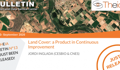
Land Cover: a Product in Continuous Improvement
Jordi Inglada tells us about the latest developments of Theia Land Cover product.
Publications
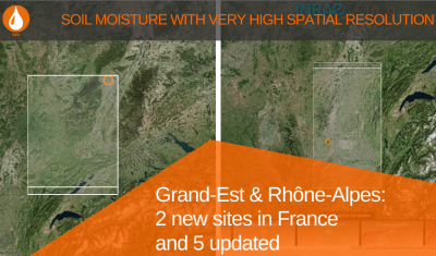
VHSR Soil Moisture: two new sites in France and 5 updated
Data at plot-scale are now available for 2 new sites in France: Grand-Est and Rhône-Alpes. 5 others have been updated.
Publications
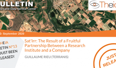
Sat’Irr: The Result of a Fruitful Partnership Between a Research Institute and a Company
Guillaume Rieu (TerraNIS) revisits the logic of Academic/Business cooperation lthat underlies the success of a tool like Sat’Irr.
PhD & PostDoc
PHD on remote sensing for precision irrigation
IRTA and the University of Lleida propose a PhD position on the measurement of water needs for irrigation by remote sensing.
Publications
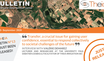
Just released: Theia Bulletin n°13
Discover the content of Theia Bulletin n°13
Publications
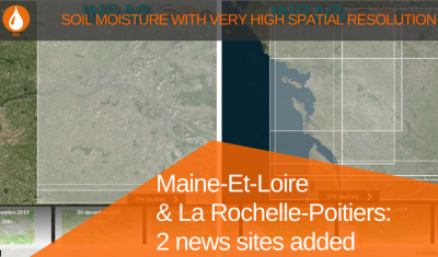
VHSR Soil Moisture: 2 new sites added
Check out the Maine-Et-Loire and La Rochelle-Poitiers series of the VHR soil moisture products
Publications
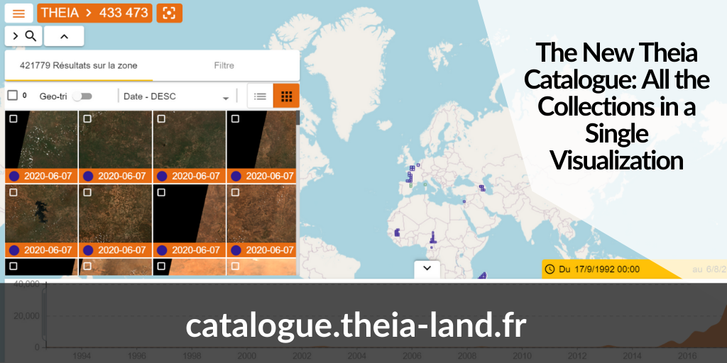
The New Theia Catalogue: All the Collections in a Single Visualization
Discover the new Theia catalogue offering a centralised access to SECs products as well as advances search functions and image visualisation tools.
Publications
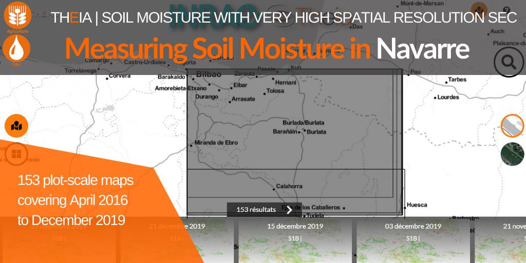
Measuring soil moisture in Navarre
The collection for Navarre brings 153 additional maps and a 15th site to the very high spatial resolution Soil Moisture product.
Publications
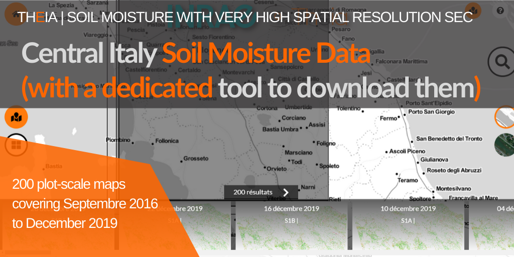
Central Italy Soil Moisture Data (with a dedicated tool to download them)
Discover the collection of very high spatial resolution soil moisture maps for Central Italy and the new THISMEDownload.py batch download script.
Publications
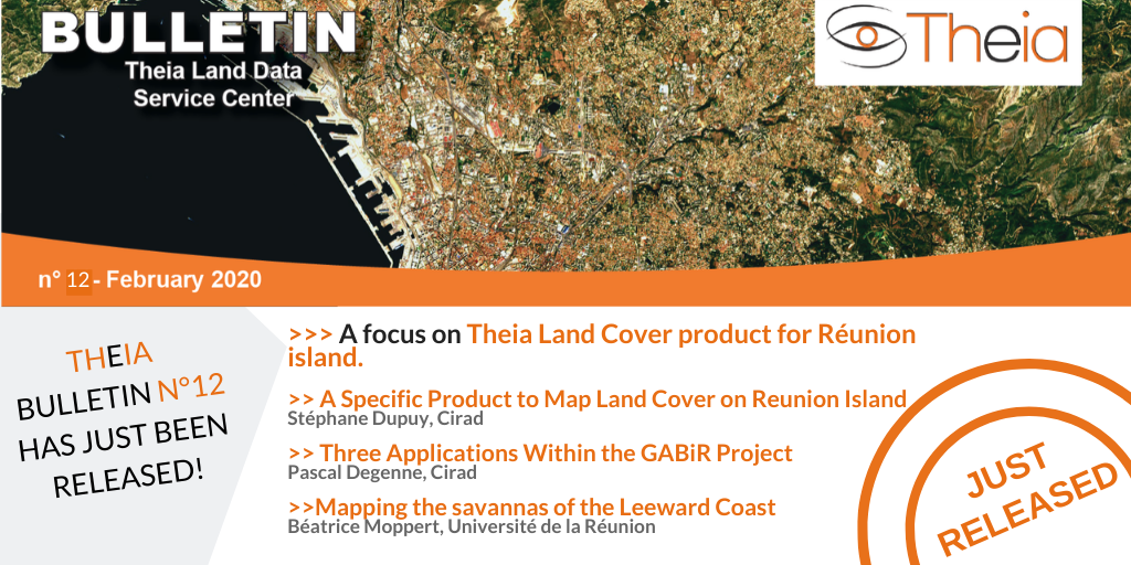
Land Cover on Reunion Island
A focus on Theia Land Cover on Reunion Island product, its methods and uses.
Publications
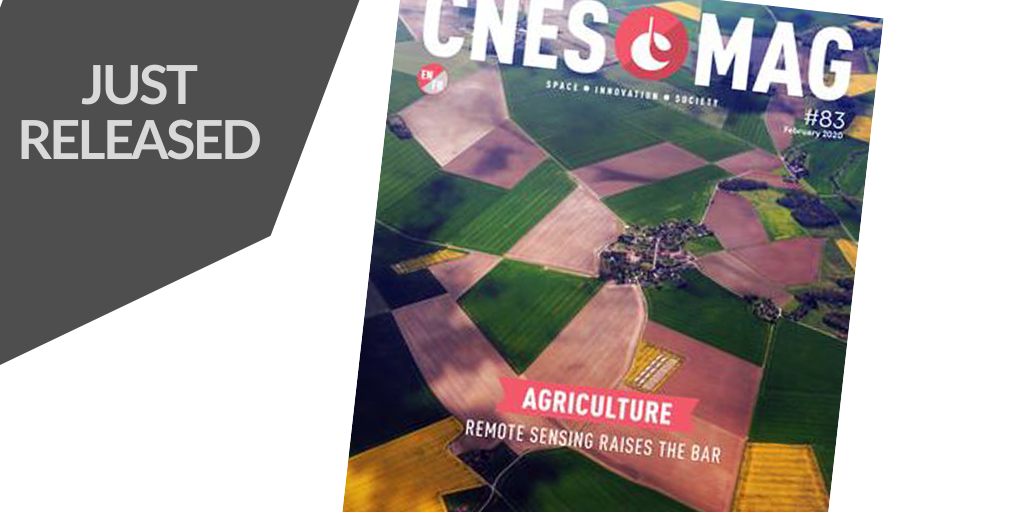
CNESMAG 83 – Agriculture : Remote Sensing Raises the Bar
The last CNES MAG issue offers a good overview of the contribution of remote sensing for agriculture.
Publications
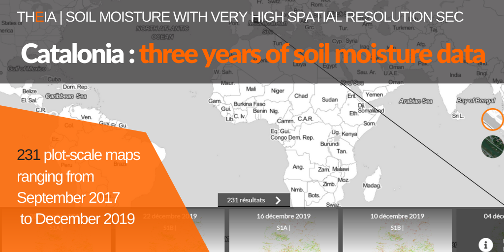
Catalonia: three years of Soil Moisture with very high spatial resolution
The soil moisture collection for Catalonia now offers 231 maps between September 2017 and December 2019.
Publications
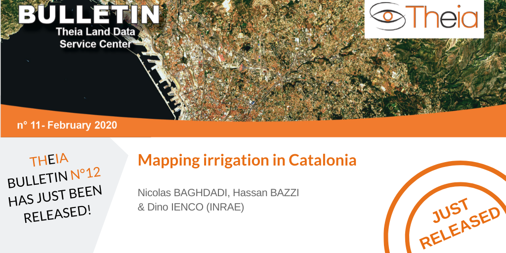
Mapping irrigation in Catalonia
Theia Irrigation SEC proposes a large-scale mapping of irrigated plots in Catalonia.
Publications
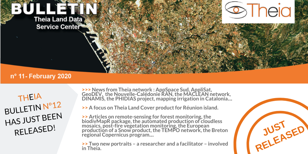
Theia Bulletin n°12
Discover the content of Theia Bulletin n°12.
Publications
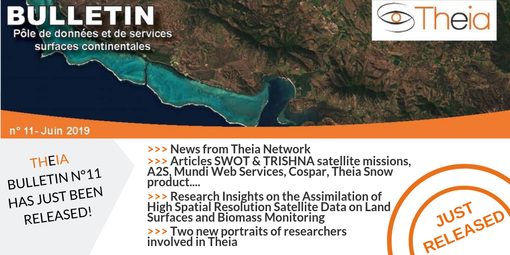
Just released: Theia Bulletin n°11
Read all the news from Theia network.
Publications
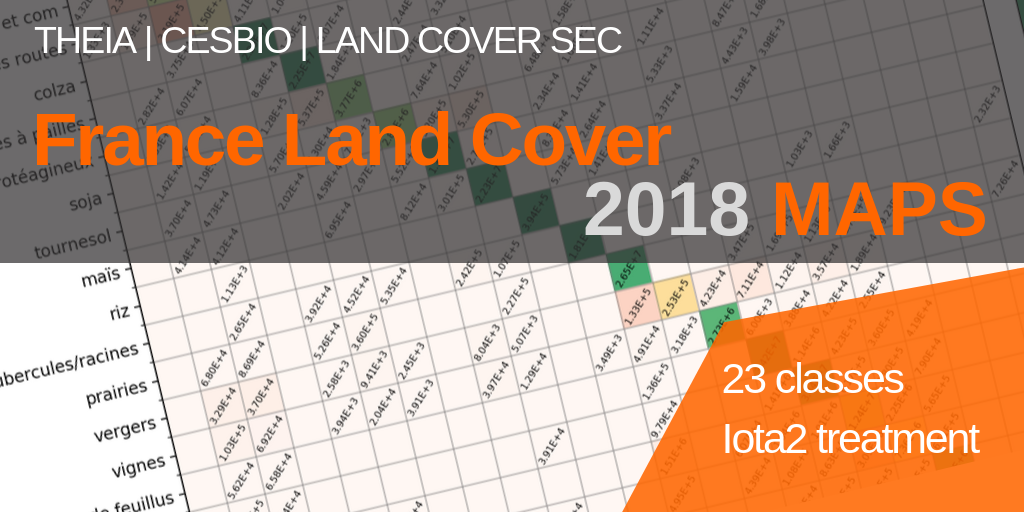
2018 Land Cover Product
Discover the Land Cover Product and the novelties of the 2018 reference year.
Publications
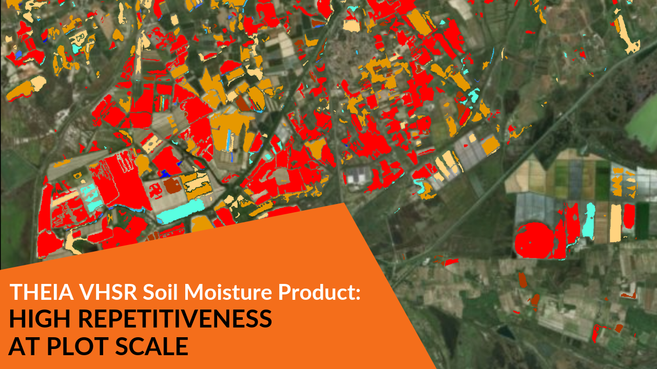
VHSR Soil Moisture Product: High Repetitiveness at Plot Scale
A Gif-proof of the interest of measuring soil moisture at plot scale with an high repetitiveness.
PhD & PostDoc
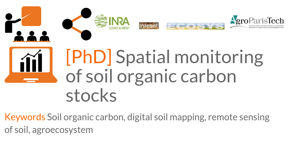
[PhD] Spatial monitoring of soil organic carbon stocks
Ecosys (AgroParisTech) and Infosol (Inra) are looking for PhD candidates.
Publications
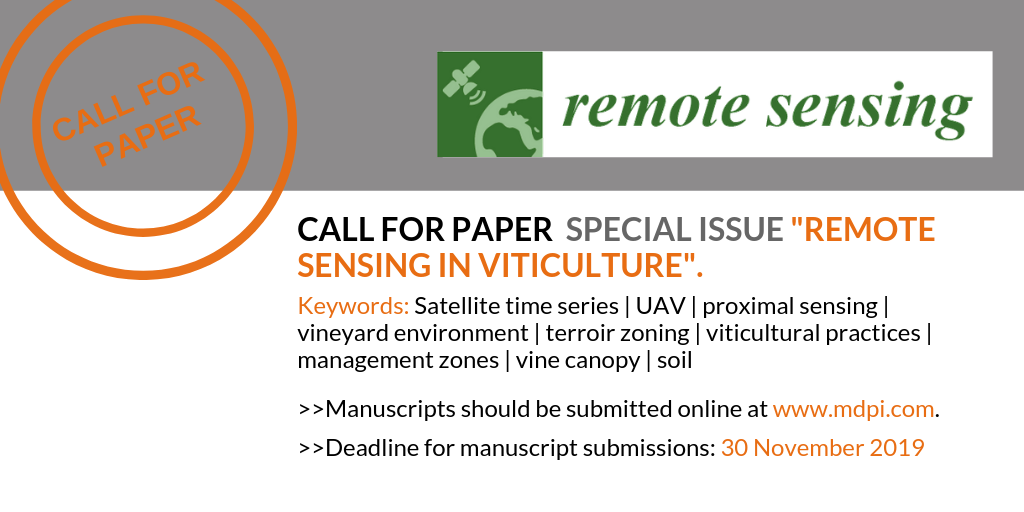
Call for Paper Special Issue “Remote Sensing in Viticulture”
Submit before November 30 and contribute to the special issue on Remote Sensing and Viticulture
Jobs
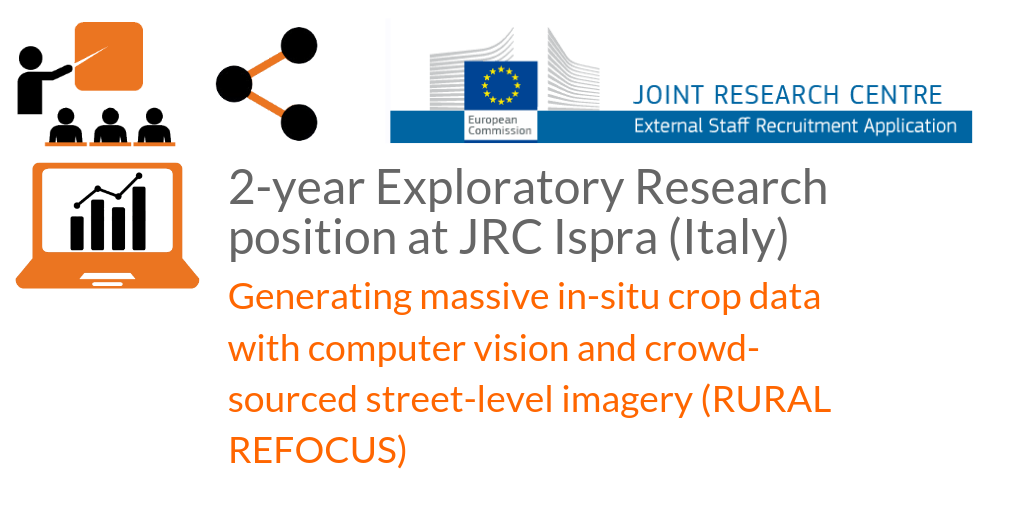
2-year Exploratory Research position at the EU Joint Research Centre in Ispra, Italy.
Apply before 7th of June 2019
Agenda
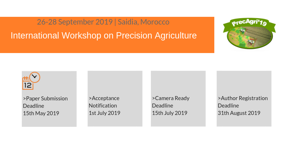
26-28 September 2019, Saidia, Maroc | International Workshop on Precision Agriculture
Submit contributions before mid-June 19
Agenda
26-28 September 2019, Saidia, Maroc | International Workshop on Precision Agriculture
Submit contributions before mid-May 2019.
Applications
- TOSCA Systcult (V. Lebourgeois, CIRAD TETIS)
The objective of this project is to pave the way for the future Sentinel-2 space mission by developing mapping products for food supply security systems in countries at risk. This work is based on current satellite systems (SPOT & Pleiades) and is exploring new methodologies for processing and analysing multi-source remote sensing data in order to (i) map different crop systems and (ii) improve the estimation of agricultural production. It focuses on a study area near Antsirabe in the Madagascar highlands. - TOSCA DynAfrique (A. Bégué, CIRAD TETIS)
This work aims (i) to characterise by remote sensing the dynamics of agricultural production in West Africa by analysing the NDVI iso-trends and national agricultural statistics, and (ii) to try to explain these dynamics by analysing climate variations in addition to changes in land cover and farming practices. - TOSCA TRECS (V. Soti, CIRAD AIDA)
- TOSCA CALVADOVS: Centre for Algorithms and Validation of Data from VenμS and Sentinel-2. (Hagolle O, CESBIO, joined by the CNRM in Toulouse and the EMMAH mixed research unit in Avignon) 2014-2015. The goals are to make certain methods more operational. The methods in question are used for atmospheric corrections, detection of clouds, classification of land use, estimation of water needs and yields. Improvements will be sought by: – using tested, proven and documented programming codes, – making these tools open source for the scientific community, – testing the applicability and robustness of these methods on different sites – and defining and normalising measurement and validation protocols.
- TOSCA EVA2-IRT: Evaluation of Evapotranspiration products from the Thermal Infrared (Boulet G, CESBIO Toulouse, Olioso A, EMMAH mixed research unit, Avignon, JP Lagouarde, ISPA Bordeaux) Project to prepare for a future space mission in the thermal infrared to follow on from the MISTIGRI project, and to validate real evapotranspiration products based on thermal infrared data (high resolution from MISTIGRI, ASTER and Landsat, low resolution from Sentinel-3, MODIS and MSG).
- FP7 SIGMA (A. Bégué, CIRAD TETIS)
Europe’s SIGMA research project (Stimulating Innovation for Global Monitoring of Agriculture; http://www.geoglam-sigma.info) is supporting GEOGLAM (GEO GLobal Agriculture Monitoring). CIRAD’s participation in this project involves using remote sensing data to map farming systems on a regional scale then spatialize the information (i.e. broaden its scope) to cover West Africa through the SARRA-H rainfed crop model. - FP7 SIRRMED 2011-2014 Project aiming to develop methods to improve irrigation management on a regional scale and around the Mediterranean basin. Participation of the EMMAH mixed research unit, INRA, Avignon. A Olioso coordination of a work package on the development of operational tools: – BV-net to estimate biophysical variables (LAI, fAPAR and fCover from neural networks and radiative models together with EVASPA: estimation of evapotranspiration using the thermal infrared range.
- Agroforesterie (C. Lelong, CIRAD TETIS)
- JECAM (CIRAD) CIRAD is part of the JECAM network (http://www.jecam.org) of reference sites for the development of methods for agricultural applications. CIRAD has instigated or contributes to six sites: Burkina-Faso (rainfed cereals), Madagascar (high-altitude rice growing), Kenya (agroforestry), Sénégal (dry cereals), Brazil Sao-Paulo (Eucalyptus), Brazil-Tocantins (integration of livestock-agriculture-forest). Madagascar’s JECAM site (around Antisirabe) was selected as the test site for ESA’s Sentinel-2 Agri project.
- Project AïCHA: Adaptation of irrigated agriculture to climate change in India. (INRA SAS, COSTEL Rennes, EMMAH mixed research unit, Avignon, AGIR Toulouse, IISC Bangalore, India, etc.) (Coord: L Ruiz, Alban Thomas) 2012-2015 project funded by CEFIPRA 2012-2015 (coord. Sekhar Muddu, IISc Civil Engineering in Bangalore and L. Ruiz, INRA-SAS in Rennes); project funded by INRA ACCAF 2012-2014 (coord. Alban Thomas, INRA-LERNA, Toulouse). The project aims to produce an integrated model (agronomics, hydrology and economics) associated with scenarios of the evolution of cropping systems in order to assess the performance of water management policies on the scale of a farm and of a catchment area in an experimental site in India. The methodology combines remote sensing, ground truth surveys and inverse modelling to infer spatial distribution of biophysical parameters and the socio-economic determinants of the choice of cropping systems. A farmer’s decision-making model will be developed to assess the adaptability of cropping systems to climate change and the economic context (see https://inra-dam-front-resources-cdn.brainsonic.com/ressources/afile/262574-6651e-resource-poster-aicha.html).
Postdoc Sreelash Krishnan Kutty, (IISc, Bangalore, India): 02/2014-01/2016 Spatial Estimates of soil hydraulic properties at a catchment scale using satellite data and inversion of a crop model » – currently at the EMMAH mixed research unit in Avignon - ANR RUEdes Sols 2015-2018 (Coord.: I Cousin, INRA Orléans; participants: EMMAH mixed research unit in Avignon, CESBIO, AGIR INRA Toulouse, ARVALIS, CETIOM et al). Estimation of the water in soil by direct measurements and inversion of crop models at parcel and regional scales (http://www.agence-nationale-recherche.fr/projet-anr/?tx_lwmsuivibilan_pi2%5BCODE%5D=ANR-14-CE01-0011), use of remote sensing in crop models (data assimilation)
- ScenaRice project (funded by Agropolis) (Coord. JM Barbier, Innovation mixed research unit, Montpellier, and S Bocchi, UNIMIT Univ. of Milan. Participants: EMMAH mixed research unit (F Ruget, D Courault), IREA Remote Sensing department, Milan, Italy; Africa Rice Centre, Bénin; CIRAD, Madagascar 2012-2015. Integrated evaluation of sustainable rice production systems. Exploration of plausible, probable and possible scenarios for sustainable rice production systems. One WP includes the use of crop models and remote sensing data (M Boschetti).
Phenotyping
- PHENOMENA (B de Solan, UMT CAPTE, EMMAH mixed research unit, Avignon) 2014-2016 This project aims to combine a 4D crop growth model with a functional model in order to improve high-speed phenotyping through proximal sensors. This work is based on two existing models: the SIRIUS functional model and the ADEL architectural development model for wheat. The project will be implemented through the OpenAlea platform, dedicated to the structural and functional modelling of plants.
Thesis
Countries at risk
- Caractérisation de la dynamique des « systèmes de culture » en zone soudano-sahélienne de l’Afrique de l’ouest par modélisation spatialisée des cultures et analyse de séries temporelles d’images satellites
Camille Jahel (prévue 2016)
Thèse de doctorat de l’Institut des Sciences et Techniques du Vivant et de l’Environnement (AgroParisTech), CIRAD. - Caractérisation spatio-temporelle et analyse des déterminants de la production agricole en Afrique de l’Ouest par télédétection
Leroux Louise (prévue 2015)
Thèse de doctorat de l’Institut des Sciences et Techniques du Vivant et de l’Environnement (AgroParisTech), CIRAD. - Entre désertification et reverdissement du Sahel : Diagnostic des observations spatiales et in situ
Dardel Cécile (2014)
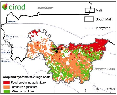
Thèse de l’Université Toulouse III Paul Sabatier, soutenue le 29 janvier 2014 à Toulouse (FR), CNRS (UMR GET), 177 p. + annexes. - Cartographie et caractérisation des paysages agricoles au Mali par télédétection basse résolution (imagerie MODIS)
Vintrou Elodie (2012)Thèse de doctorat de l’Institut des Sciences et Techniques du Vivant et de l’Environnement (AgroParisTech), soutenue le 2 février 2012 à Montpellier, CIRAD, 205 p. + annexes.
Estimation of yields
- Estimation de la production potentielle de biomasse de canne à des fins énergétiques par modélisation et télédétection
Morel Julien (2014)
Thèse de doctorat de l’Université La Réunion, soutenue le 3 juillet 2014, St Denis (FR), CIRAD-Réunion, 129 p. + annexes. Modélisation spatialisée de la production, des flux et des bilans de carbone et d’eau des cultures de blé à l’aide de données de télédétection : applications au sud-ouest de la France
Veloso Amanda (2014)
Thèse de l’Université Toulouse III Paul Sabatier, soutenue le 23 juin 2014 à Toulouse (FR), CESBIO, 284 p. + annexes.- Application à l’agriculture de la prévision saisonnière : évaluation à l’échelle de la France
Nicolas Canal (2014).
Direction : JC Calvet, CNRM Toulouse
Thèse de l’Université Toulouse III Paul Sabatier, soutenue le 30 Septembre 2014 à Toulouse (FR), CNRM, 249 p - Estimation spatialisée de la biomasse et des besoins en eau des cultures à l’aide de données satellitales à hautes résolutions spatiale et temporelle
Martin Claverie (2012)
Direction : V Demarez B Duchemin Cesbio Toulouse
Thèse de l’Université Toulouse III Paul Sabatier
Precision agriculture
Apports de la télédétection très haute résolution par drone pour l’agriculture de précision – Application à la culture de la canne à sucre sur l’île de La Réunion
Lebourgeois Valentine (2009)
Thèse de Doctorat, Université de La Réunion, St Denis (FR), CIRAD, 159 p. +annexes.Peut-on appliquer le concept d’agriculture de précision à la viticulture ?
Tisseyre Bruno (2012)
HDR de l’Université Montpellier II / SupAgro, Montpellier, 10 Jan. 2012, 71 p.
Biophysical variables / phenotyping
- Potentiel de l’imagerie hyperspectrale de proximité comme outil de phénotypage : application à la concentration en azote du blé
Vigneau Nathalie (2010)
Thèse de Doctorat en Sciences Agronomiques, SupAgro, Montpellier, soutenue le 13 Déc. 2010 à Montpellier, 125 p. Phénotypage haut débit par imagerie multispectrale au verger : Etude du déterminisme génétique de la réponse à la contrainte hydrique d’une population d’hybrides de pommiers (Malus x domestica Borkh.)
Virlet Nicolas (2014)
Thèse de doctorat du Centre international d’études supérieures en sciences agronomiques, soutenue le 3 juillet 2014 à Montpellier (FR), INRA, 204 p. + annexes.
Agricultural practice / agricultural systems
Exploitation de séries temporelles d’images satellites à haute résolution spatiale pour le suivi des prairies en milieu agricole
Dusseux Pauline (2014)
Thèse de l’Université Rennes 2 Haute Bretagne, soutenue le 5 décembre 2014 à Rennes, COSTEL, 189 p. + annexes.- Elaboration des scénarios d’irrigation en réponse à une diminution de la ressource hydrique disponible et quantification de l’impact de ces scénarios sur la production agricole et la recharge des nappes
M. Alkassem Alosman (2013-2015)
Direction : A. Olioso, S. Ruy
UMR EMMA Avignon - Suivi hydrique des sols et de la végétation pour la supervision et la gestion des systèmes irrigués
M El Hajj (2013-2015)
Direction : Nicolas Baghdadi, IRSTEA, UMR TETIS, Montpellier
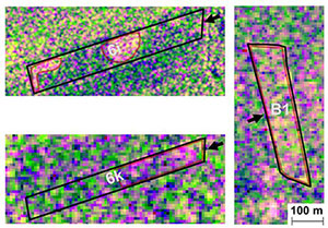
Suivi par télédétection radar de l’irrigation sur 3 parcelles (6k, 6i, b1) du Domaine du Merle près de Salon de Provence. L’imagerie radar permet d’identifier les zones d’eau libre à la surface des parcelles (zones délimitées par un contour rouge sur la figure) : la parcelle 6k représente la lame d’eau en cours de progression, la parcelle b1 est entièrement submergée, sur la parcelle 6i les zones dépressionnaires recouvertes d’eau après l’irrigation sont visibles. (El Hajj et al, 2014)
- Apport de la télédétection spatiale à l’analyse de la performance des systèmes d’irrigation en zones semi-arides
MH Kharrou, 2014
Thèse soutenue le 8 décembre 2014, à l’université des sciences de Marrakech, 243p
Direction Jarlan L cesbio, S Khabba Univ Marrakech - Estimation spatialisée de l’évapotranspiration et suivi de l’irrigation en milieu semi-aride à l’aide des données de l’infrarouge thermique
Chirouze J (2013)
Resp G Boulet, Cesbio – Université Paul Sabatier Toulouse
Articles
- Validation of coarse spatial resolution LAI and FAPAR time series over cropland in southwest France. Claverie, M., Vermote, E.F., Weiss, M., Baret, F., Hagolle, O. and Demarez, V., 2013. Remote Sensing of Environment, 139(0): 216-230.
- Irrigated Grassland Monitoring using a Time Series of TerraSAR-X and COSMO-SkyMed X-band SAR data,. El Hajj M,Baghdadi N,Belaud G,Zribi M,Cheviron B,Courault D,Hagolle O, Charron F, 2014. Remote Sens. 2014, 6(10), 10002-10032; 1003-1032
- An image-based four-source surface energy balance model to estimate crop evapotranspiration from solar reflectance/thermal emission data (SEB-4S). Merlin O., Chirouze J., Olioso A., Jarlan L., Chehbouni G., Boulet G., 2014. Agricultural and Forest Meteorology, 184, 188-203.
- POT-VEGETATION GEOV1 biophysical parameters in semi-arid agro-ecosystems . Raymaekers, D., A. Garcia, C. Di Bella, M. E. Beget, C. Llavallol, P. Oricchio, J. Straschnoy, M. Weiss and F. Baret(2014). International Journal of Remote Sensing 35(7): 2534-2547.
- EVASPA (EVApotranspiration Assessment from SPAce) tool: An overview . Gallego-Elvira B., Olioso A., Mira M., Reyes-Castillo S., Boulet G., Marloie O., Garrigues S., Courault D., Weiss M., Chauvelon P., Boutron O., 2013. Procedia Environmental Sciences, 19, 303–310.
Theia News on Agriculture
Products
OSO 2023 Data : a little more patience ahead
THEIA Land Cover product is produced each year by CESBIO and CNES. It provides a 24-class typology of land cover, downloadable by department for mainland France. Production begins in January […]
News
[World Soil Day] THEIA tools for documenting soil-water interactions
On December 5th, the international community dedicates World Soil Day to raising awareness of the importance of soil quality and health for the proper functioning of ecosystems and agricultural production. […]
Theia Regional Animation Network
A new GeoDEV website, with resources tailored to your profile
The website of the ART GeoDEV, the Theia Regional Animation network that CIRAD, IRD and CNES have been leading since 2017 in the direction of Southern countries, is evolving to […]
SCO
SPace4Irrig | Mapping of irrigated and non-irrigated crops
Within the framework of the SPace4Irrig project, labelled Space Climate Observatory,CESBIO and MEOSS have developed a detection model for irrigated and non-irrigated plots, adapted to field crops. This project is […]