Iota²
Tool Access Presentation Iota2 – Infrastructure for Land Use by Automatic Processing Incorporating Orfeo Toolbox Applications is the name of the renowned land use map production chain developed at CESBIO […]
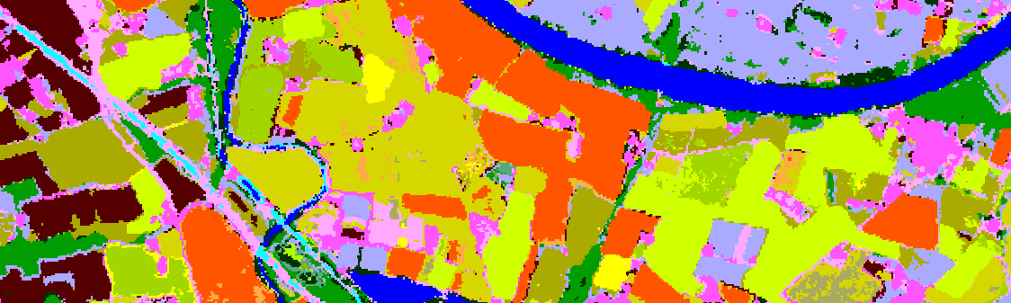
Tool Access Presentation Iota2 – Infrastructure for Land Use by Automatic Processing Incorporating Orfeo Toolbox Applications is the name of the renowned land use map production chain developed at CESBIO […]
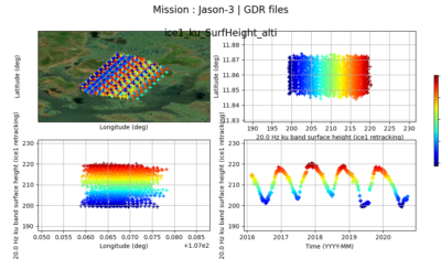
The AlTiS software allows the visualisation of altimeter data and the creation of water level time series on rivers, lakes and flooded areas.
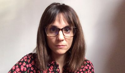
Meet with Silvia Valero, the new facilitator for Theia Land Cover SEC. She shares here her ambitions and expectations.
Submit your proposal before June, 23, 2021.
The main results of the survey conducted by the Surface Temperature and Emissivity SEC on the needs of the TIR community.
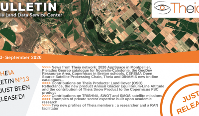
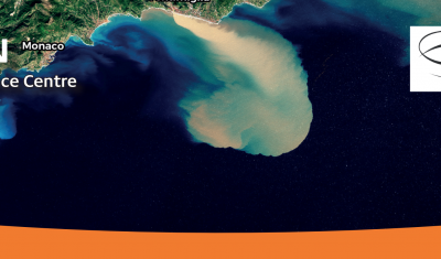
Discover the content of Theia Bulletin n°13
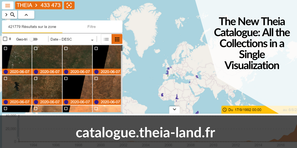
Discover the new Theia catalogue offering a centralised access to SECs products as well as advances search functions and image visualisation tools.
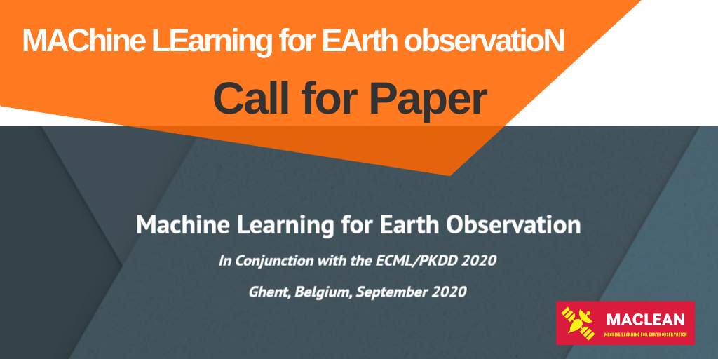
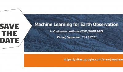
Submit now your paper on Machine Learning for the MACLEAN 2020 event in Ghent in conjunction with ECMLPKDD
Various processing software as well as modelling and mapping tools designed for thematic applications by Theia’s SECs.