Coastline
Monitoring and quantifying the evolution of coastlines to contribute to the numerical and physical modelling of their future.
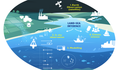
[PhD] Spatio-temporal dynamics of suspended particulate matter in the estuary/coastal sea continuum
Thesis project aiming to integrate and interact high-frequency in situ data (COAST-HF, SYNAPSES) with water color satellite data (Sentinel 2/3 – Landsat – MODIS) to enhance our understanding of the land-sea interface.
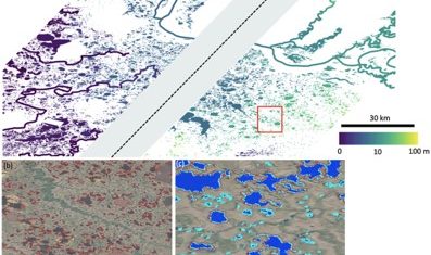
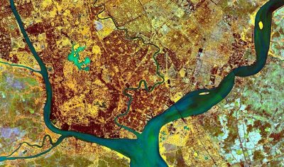
SWOT data that exceeds expectations
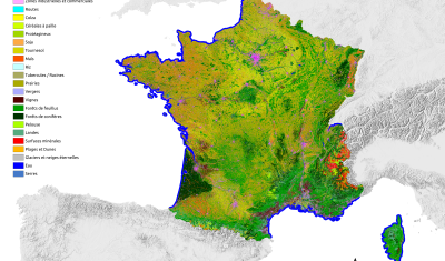
OSO 2023 Data : a little more patience ahead
A new GeoDEV website, with resources tailored to your profile
“What motivates my interest in THEIA, but also in the very idea of data consortia, are the ever-changing activities and the associated challenges.”
Arnaud Sellé, CNES-Partner Interoperability Manager for DINAMIS, Theia & ForM@Ter, gives us his vision of Theia contributions and challenges.
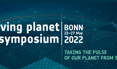
Theia programme at Living Planet Symposium
Go to Bonn with Theia’s Living Planet programme in your pocket!
Do you know the SCO?
The SCO facilitators discuss the Space Climate Observatory project, through which several THEIA SECs and RANs projects have been labelled.
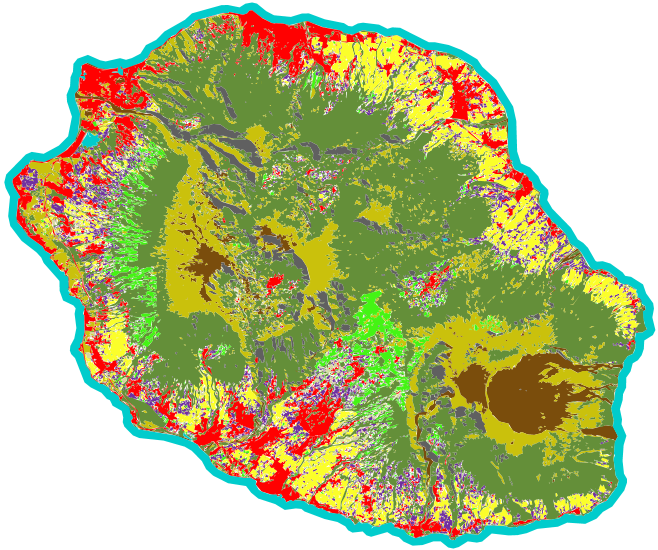
Land Cover on Reunion Island
An automated soil mapping system for Reunion Island, based on the Moringa chain, using Spot6/7 or Pleiades images.
Providing key information for environmental studies to document changes and trends
Meet with Silvia Valero, the new facilitator for Theia Land Cover SEC. She shares here her ambitions and expectations.
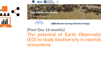
[POSTDOC]THE POTENTIAL OF EARTH OBSERVATION (EO) TO STUDY BIODIVERSITY IN INTERTIDAL ECOSYSTEMS
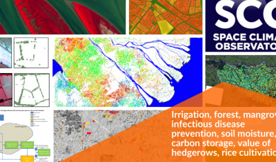
Theia projects with the SCO label: an ever-growing list
Irrigation, forest, mangrove, infectious disease prevention, soil moisture, carbon storage, value of hedgerows, rice cultivation… Update of SCO projects related to Theia SECs and RANs.