Products, Data & Tools
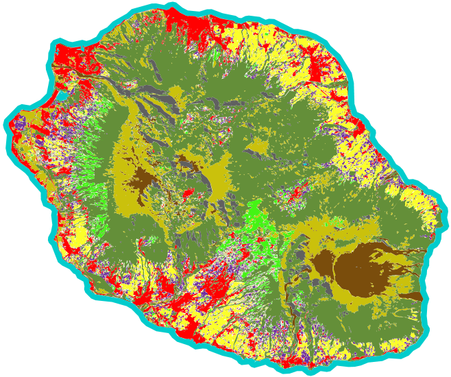
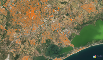
Mapping urban morphology, surface artificialisation, agricultural space consumption or vegetation… to help cities adapt to challenges and threats.
Agenda
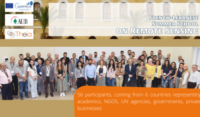
Theia-AUB Summer School in Beirut has been a huge success. All presentation and teaching material are now on-line.

Data Terra
Arnaud Sellé, CNES-Partner Interoperability Manager for DINAMIS, Theia & ForM@Ter, gives us his vision of Theia contributions and challenges.

Agenda
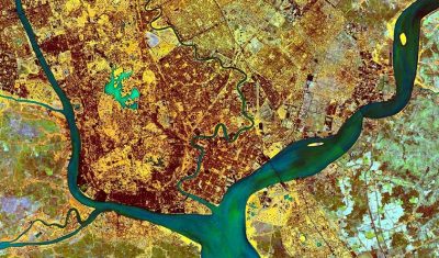
Go to Bonn with Theia’s Living Planet programme in your pocket!
Softwares & Tools
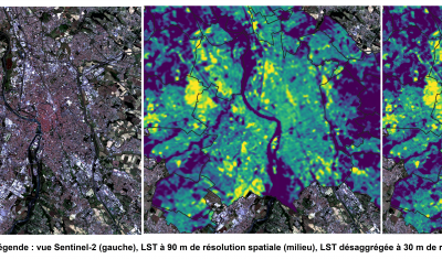
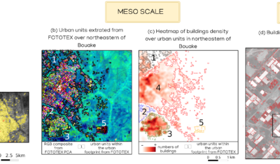
FOTOTEX, developed within Theia Risks Associated with Infectious Disease Risks and Urban SECs, proposes a unique, rapid and unsupervised method for characterising urban areas at three overlapping scales.
Publications
FOTOTEX, developed within Theia Risks Associated with Infectious Disease Risks and Urban SECs, proposes a unique, rapid and unsupervised method for characterising urban areas at three overlapping scales.
Publications
The SCO facilitators discuss the Space Climate Observatory project, through which several THEIA SECs and RANs projects have been labelled.