
Presentation
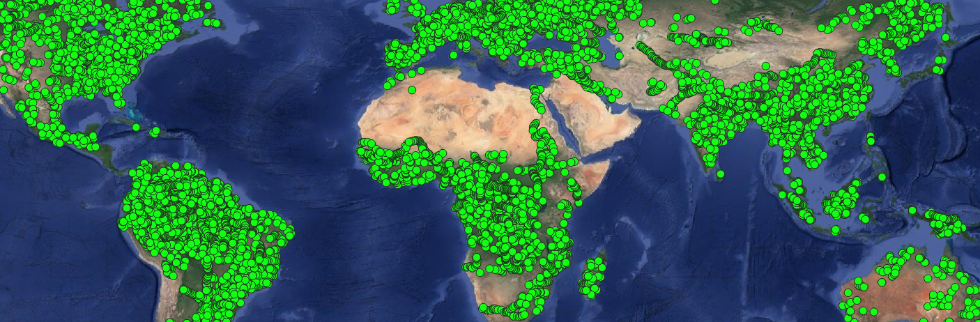
The “Water levels of lakes and rivers” Scientific Expertise Centre (SEC) brings together teams from Legos / Observatoire Midi Pyrénées that develop Hydroweb, a data centre for continuous, long-duration time series of the levels of large lakes (> 100/200 km²), reservoirs and the 20 biggest rivers in the world.
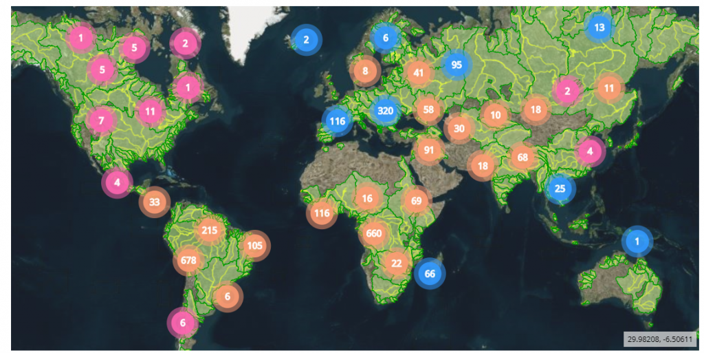
Complete coverage of the operational stations after April 2019.
(blue dots = rivers, pink dots = lakes, orange dots = rivers and lakes)
Since the further development of the European monitoring in April 2019, Hydroweb supports the operational monitoring of 64 lakes, 60 of which are monitored for more than 25 years, and research on 91 lakes, based on continuous data over more than 15 years.
1599 virtual stations on rivers are operational, 60 of which for over more than 10 years. 1211 virtual stations on rivers supply data for the research phase.
The data come from altimetric products (IGDRs) for the Jason 2, Saral/Altika missions and, at a later stage, the Sentinel 3A/3B, Jason 3, Jason-CS and SWOT missions.
Contact

Jean-François Cretaux
Legos
@J-F.Cretaux