Lancement du Pan European High Resolution Snow & Ice Monitoring Product
Inscrivez-vous à l’événement de lancement du Pan European High Resolution Snow & Ice Monitoring Product. Ce produit est en partie basé sur le produit Neige de Theia. (Lire l’histoire de ce produit ici).
When: Tuesday 14 September 2021
Where: Online
Time: 09:00 – 17:00
Registration: Registration is now open

At this event you will be informed about the products specification, learn about tangible use cases as well as how to access the HR-S&I products.
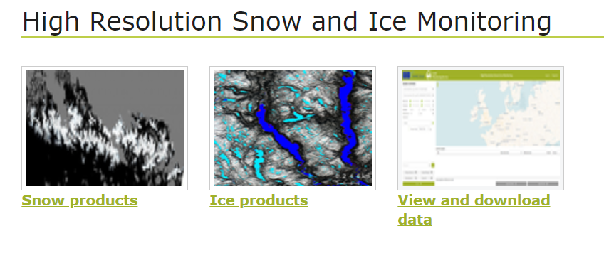
The HR-S&I products address a wide range of applications, but in particular they address applications in nivology, hydrology (e.g., flood and hydro-power), climatology, meteorology, winter tourism and the transport sector.
Since several applications are time critical, HR-S&I was developed as near real time service, providing its products within 6 hours after sensing. The high spatial resolution shall open a new set of applications and possibilities from very detailed local scales, up to the pan European level.
The event is open to everybody who is interested in this topic, but in particular it will add value to those who are considering using our data, be it for research applications, downstream services, or national and regional authorities.
For more information including the agenda and to register please click here.
Furthermore, a Pan European High Resolution Snow & Ice product webinar focused mainly on the data access will be held on Tuesday 23 November 2021 at 11:00 am. You will soon receive all the details about the program and how to register. Meanwhile, save the date!