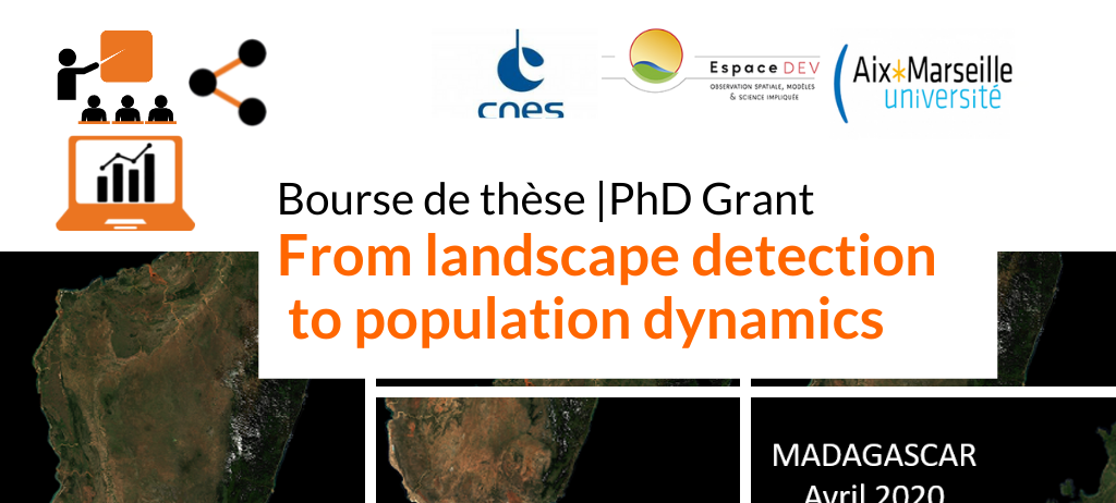
Offre de thèse : From landscape detection to population dynamics
Le CNES offre une bourse de thèse pour un projet visant à améliorer les connaissances sur la dynamique des populations humaines en milieu rural par la reconnaissance d’indicateurs paysagers issus du traitement d’images à haute résolution.
Le sujet est porté par Valérie Golaz (INED, UMR LPED) et Anne-Elisabeth Laques (IRD, UMR ESPACE-DEV). La thèse contribuera notamment au CES PAYSAGE (Pôle Theia) et au Laboratoire Mixte International « PAYSAGES » à Madagascar.
Pour plus d’informations sur le sujet et le lien pour candidater :
PhD scholarship 2022-2025: From landscape detection to population dynamics
In the DemoSud Unit, Population, Climate and Environment research axis, we are looking for a candidate with a Masters degree in geography, demography or statistics and experience in remote sensing for a PhD position. A field experience in the global South would be valuable as well. The PhD will be based at Ined and registered at Aix-Marseille University, under the co-supervision of Valérie Golaz (INED, LPED) and Anne-Elisabeth Laques (IRD, Espace-Dev).
This project aims at improving knowledge on population dynamics by recognition of landscape indicators retrieved from high-resolution satellite images. In regions where demographic data is scarce or
unsatisfying, remotely sensed data can be an efficient alternative to provide a continuous flow of valuable information. The research will therefore focus on the production of indicators qualifying the
anthropogenic footprint on given milieux, accounting for its intensity, and will then analyse the possible links between these indicators and population dynamics.
Madagascar provides an excellent setting for studying the interaction between rural landscape and population, with the recent creation of a Laboratoire Mixte International « Paysage », involving various research teams anchored on local field sites. This project is based on Copernicus satellite data (Spot and Sentinel), national population censuses (1993 and 2018), surveys and a local demographic field survey
The landscape indicators will be defined and tested at various levels centred on chosen field sites.
More info on the PhD: https://recrutement.cnes.fr/fr/annonce/1498713-151-from-landscape-detection-to-population-dynamics-93300-aubervilliers