Accès à la donnée
Présentation

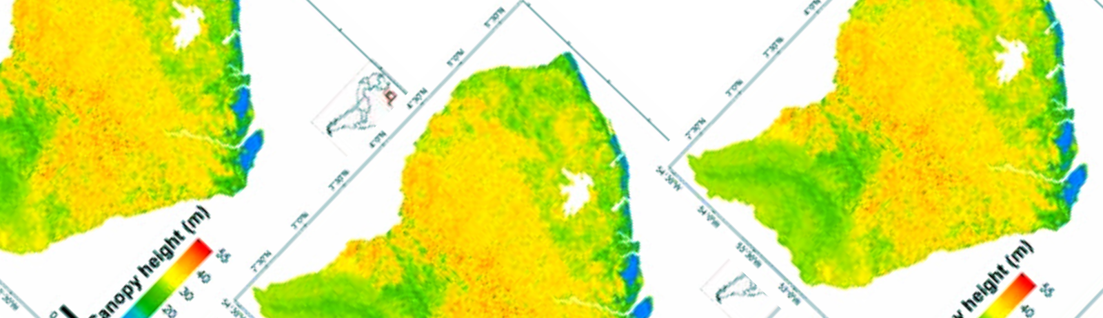
La carte est obtenue par fusion de données LiDAR, radar, optique, et d’autres jeux de données environnementales. La précision de cette carte en comparaison à des estimations de hauteurs réalisées sur des données LiDAR aéroportées est de l’ordre de 3 m (la hauteur moyenne est de l’ordre de 30 m).
Auteurs
Ibrahim Fayad (Inrae), Nicolas Baghdadi (Inrae), Jean Stéphane Bailly (AgroParisTech), Nicolas Barbier (IRD), Valéry Gond (CIRAD), Bruno Hérault (CIRAD), Mahmoud El Hajj (Noveltis), Frédéric Fabre (Astrium/EADS), José Perrin (BRGM).
Remerciements
IRSTEA, CNES (TOSCA), BRGM, CIRAD, IRD, CNRS, Noveltis, Astrium/EADS, NSDIC (National Snow and Ice Data Center for the distribution of the ICESat/GLAS data),ONF.
Contact

Nicolas Baghdadi
INRAE | Tetis
ResearchGate
Contributions
Format
Metadata
- GeoTIFF raster
- NoData: -9999
- EPSG: 32622
- Resolution: 250 m
- Pixel type: double precision (64 bits)
Date des données
- ICESat: 2003-2009
- BRGM: 1996
- Altoa: 2004-2009
- Données optique: 2003-2013
- SRTM: 2000
- Données Géologique: 2001
Référence
Fayad I., Baghdadi N., Bailly J.S., Barbier N., Gond V., El Hajj M., Fabre F., and Bourgine B., 2014. Canopy height estimation in French Guiana with LiDAR ICESat/GLAS data using principal component analysis and random forest regressions, Remote Sensing, vol. 6, pp.11883-11914, doi:10.3390/rs61211883.
Canopy height in French Guiana : Fayad, I., Baghdadi, N., Bailly, J.-S., Barbier, N., Gond, V., El Hajj, M., Fabre, F., Bourgine, B. (2018). Canopy height in French Guiana. Irstea. https://doi.org/10.17180/canopy-height-fr-guiana-2014