Data access
Presentation
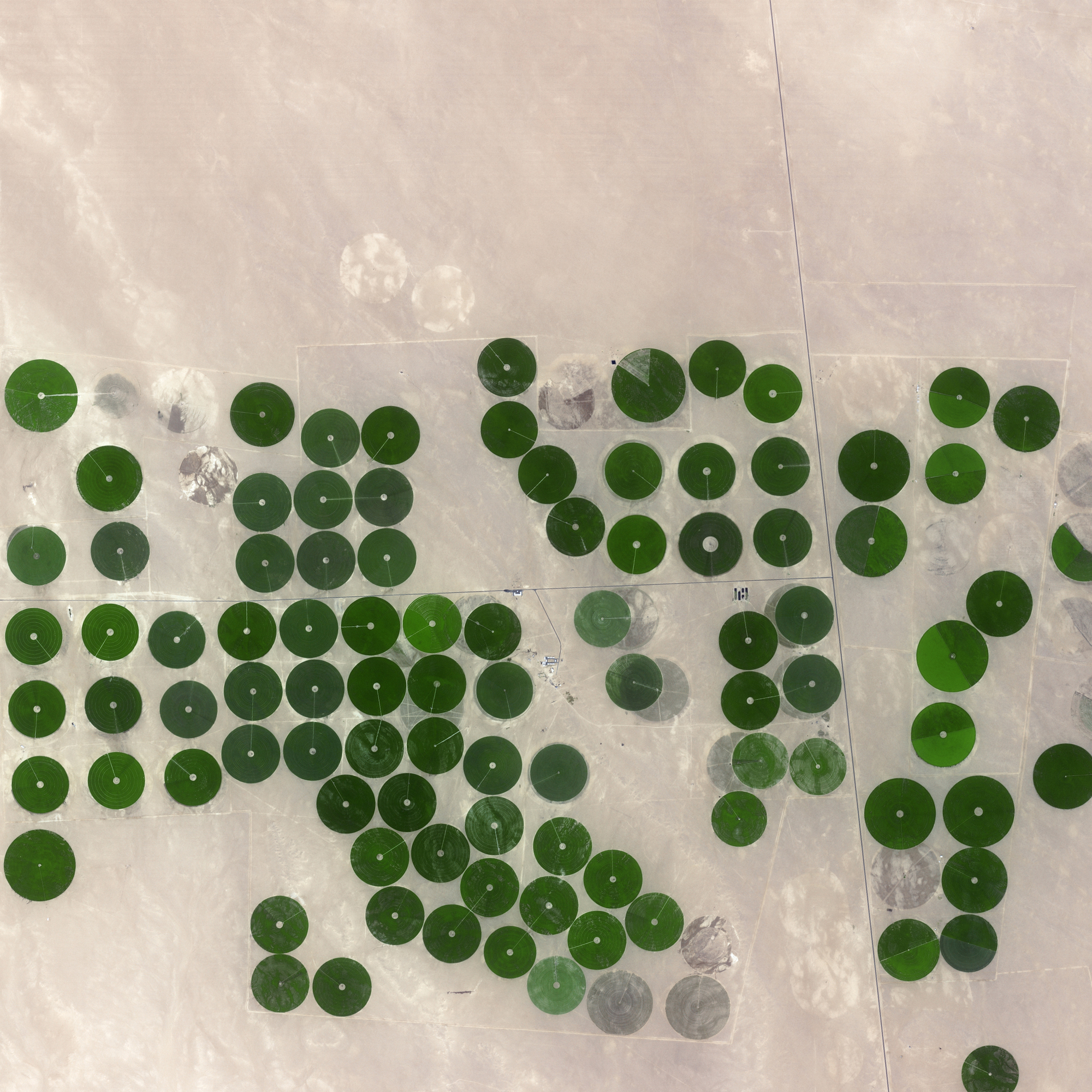
At the end of life of each of its satellites, CNES isues a call for ideas for experiments to be held after the end of the routine phase, and before the deorbitation. CESBIO used this opportunity to propose the Take5 experiment, which consisted in changing the orbit of SPOT4 to deliver Sentinel-2 like time series during 5 months. The succes of this experiment, with more than 700 users, pushed CNES and ESA to renew it with SPOT5 satellite.
On April the 2nd, 2015, the orbit of SPOT5 was lowered by 3 km, to put in on a 5 -days repeat cycle orbit. From that date, and for 5 months until the 15th of September, SPOT5 observed 150 sites every 5 days with constant observation angles. The data were processed and distributed by the MUSCATE prototype ground segment at CNES, within the Theia ground segment:
The data are freely available to all users with a very open license.
par cesbio_clp
Contact: theia-land@cnes.fr
SATELLITE
Name : Spot 5
Imaging mode : optical
Spectral bands :
- Panchromatic
- Green
- Red
- Near infrared
- Moyen infrared
Resolutions : 10 m (multispectral)
Observation capability :
- Swath : 60 km
- Revisit : 5 days
Coverage :
- Area : 150 sites in the world
- Period : April to September 2015
For more information see spot.cnes.fr.
LEVEL
Level 1C : data orthorectified reflectance at the top of the atmosphere
Level 2A : data ortho-rectified surface reflectance after atmospheric correction, along with a mask of clouds and their shadows, as well as a mask of water and snow
FORMAT
Level 1C : Top of Atmosphere reflectance ortho-rectified product (updated for V2.0)
The TAR file distributed by THEIA Land Data Center contains 2 files and a MASK directory.
The 2 files provide the following information :
- the xml file provides the image metadata
- a TIF file
The mask directory provides :
- a saturated pixel mask _SAT.TIF, wIth an 8 bit information
Level 2A : Surface reflectances and cloud mask
The TAR file distributed by Theia contains 4 files and MASK directory :
The 4 files provide the following information :
- An XML file (as in Level 1C)
- Two .TIF files in GeoTiff format that provide surface reflectances, corrected from atmospheric effects, including adjacency effects (ORTHO_SURF_CORR_ENV, not provided for LANDSAT) and even terrain effects (ORTHO_SURF_CORR_PENTE)
- the AOT TIF file provides the estimates of Aerosol Optical Thicknesses (AOT)
The mask directory provides :
- A saturated pixels mask _SAT.TIF (as in Level 1C)
- A mask of clouds and cloud shadows _NUA.TIF :
- Diverse binary masks : water, snow and no_data mask, plus (V2.0) pixels lying in terrain shadows _DIV.TIF
For more information, see Take5 Product Format