Data access
Presentation
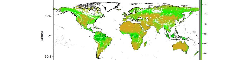
The SMOS INRA-CESBIO (SMOS-IC) algorithm was designed by INRA (Institut National de la Recherche Agronomique) and CESBIO (Centre d’Etudes Spatiales de la BIOsphère) to perform global retrievals of SM and L-VOD. SMOS-IC is based on the two-parameter inversion of the L-MEB model as defined in Wigneron et al. (2017) and considering the pixel as homogeneous.
So, SMOS-IC was designed on the same basis as the level 2 SM algorithm but using some simplifications. Specifically, SMOS-IC does not account for corrections associated with the treatment of retrievals over regions with a heterogeneous land cover (forested areas), the antenna pattern and the complex SMOS viewing angle geometry.
One of the main goals of the SMOS-IC product was thus to be as independent as possible from auxiliary data so as to be more robust and less impacted by potential uncertainties in the afore-mentioned corrections.
The SMOS-IC algorithm and dataset is described in Fernandez-Moran et al. (2017). The current version is 105 and it is provided in the 25km EASEv2 grid, as netcdf format.
The last up-dated version of the Homogeneous SMOS-IC product is available for downloading on the Bordeaux INRAE remote-sensing website : https://ib.remote-sensing.inrae.fr/
Contact

Jean-Pierre Wigneron
INRAE | SMOS-IC
ResearchGate
Contributions FR | EN
Satellite
Name : SMOS
Imaging mode : interferometry
Spectral bands : L (1413 MHz)
Resolutions : 27-55 km
Observation capability : double global coverage every 3 days
Level
Level 2: single orbit and date product in swath form. Soil moisture, vevetation opacity and dielectric constant.
Level 3: product obtained by merging several level 2 products over any given period so has to have one global product for a given period of time.
Level 4: elaborated product obtained by combining SMOS data with model outputs (hydrology, statistical, using assimilation) or data from other sensors (disaggregation, data fusion , synergisms).