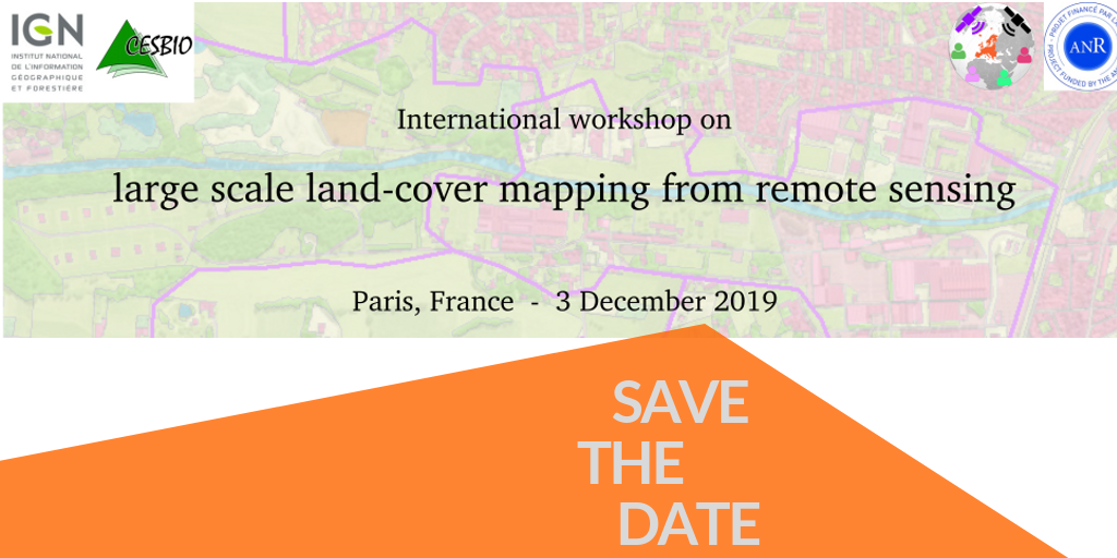
3 décembre 2019 | Atelier Cartographie de l’occupation des sols à grande échelle
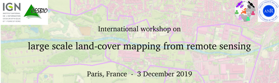
The MAESTRIA project will organize workshops related to large scale land-cover mapping during the 2019-2022 period in order to collect users’ expectations, validate choices and identify remaining challenges.
This first one-day meeting will be held on 3rd December 2019 in Paris and its main objective is to gather international land-cover experts from several organizations (ESA, JRC, universities and private companies) which have been working with and generating land-cover maps users for a long time. The specific goals of this first meeting will be to collect complementary points of view, share recent achievements and identify remaining challenges.
The preliminary program is available here.
The following questions will be specifically addressed:
- Why investing today resources in land cover mapping ?
- Which approaches for land cover map production are promoted ?
- What place is given to land cover map validation ?
- Who are the main categories of end users ?
- What are the users’ needs that are not yet fulfilled ?
You can register here. Registration is free of charge.
The workshop is open to everyone, on a first-come-first-served basis. The maximal number of attendees is 125.
CONFIRMED SPEAKERS
- Pierre Defourny (UC Louvain, Belgium)
- Christian Hoffmann (Geoville, Austria)
- Christophe Sannier (SIRS, France)
- Peter Strobl (JRC, European Commission)
- Nandin-Erdene Tsendbazar (Wageningen University & Research, The Nederlands)
- Ruben Van De Kerchove (VITO, Belgium)
Details will be provided in the forthcoming months.
Contact

Mathieu Fauvel
INRAE |CESBIO
@M.Fauvel

Jordi Inglada
Cesbio
ResearchGate
@J.Inglada
Contributions

Arnaud Le Bris
IGN
ResearchGate
@A.LeBris

Clément Mallet
IGN
ResearchGate