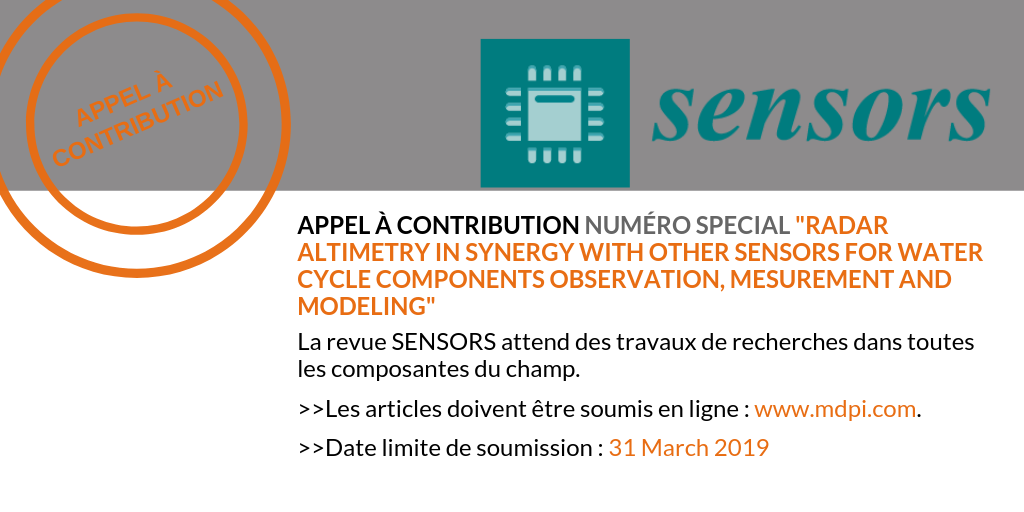
The Sustainable Development Goals Report 2018 highlights several enduring issues as the strong probability of future water scarcity and flooding, and the implementation of integrated water management, in particular for transboundary basins. Significant advances have been made in the area of radar altimetry data processing and use in forcing or assimilation of/in hydrological and hydrodynamic models. The key challenge today remains how to mix different data sources, at various temporal and spatial scales, in order to address the main issues with water resources management. Advances expected from the synergetic use of various sensors for water cycle components observation, measurement, and modeling will be especially important for the least developed countries that are particularly exposed to the effects of global change. Research works within this general scope will be welcomed for the Special Issue.
Manuscripts should be submitted online at www.mdpi.com by registering(link is external) and logging in to this website.
Deadline for manuscript submissions: 31 March 2019More informations
Nous utilisons des cookies pour vous garantir la meilleure expérience sur notre site web. Si vous continuez à utiliser ce site, nous supposerons que vous en êtes satisfait.