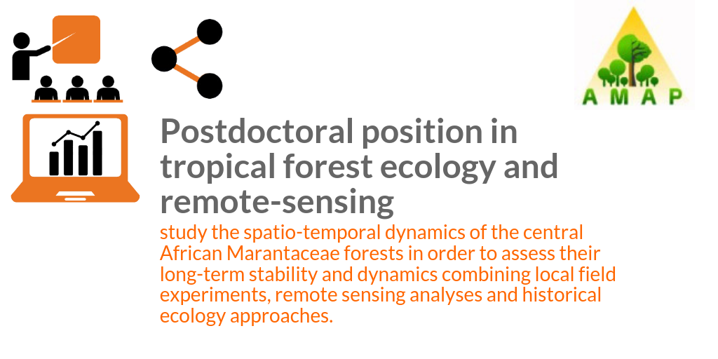
[Post-Doc] Ecologie forestière tropicale et télédétection
The AMAP lab (Montpellier, France) is seeking to appoint a post-doctoral researcher to work on the spatio-temporal dynamics of Marantaceae forest, a presumably stable state of degraded forest in central Africa.
The postdoc will be based at the main AMAP headquarter in Montpellier, France, but will work in close collaboration with the Forest and Society and ISEM labs, also in Montpellier. He will also participate to fieldwork in the north of the Republic of Congo.
The contract must start on 01/12/2019 at the latest, with a duration of 12 months renewable once.
The salary depends on the experience of the postdoctoral researcher (gross monthly salary of 2150 € for juniors (<2 years after phD) and 2500 € for seniors (>2 years after phD).
Qualifications
We are seeking a post-doctoral researcher (PhD required) in ecology, with a background in remote-sensing, or a researcher in remote-sensing with a background on forest systems.
The postdoc should have strong data analysis skills (particularly in spatial analyses) and must be fluent in an interpreted language (preferentially R). Good writing skills in English and publication records are required. The candidate must be able to work in a collaborative way.
Applications
Applicants should submit their CV with publication list and statement of research interest to both recrutement.dr-occitanie@ird.fr and maxime.rejou@ird.fr before the 1st of October 2019.
Questions should be addressed to maxime.rejou@ird.fr.
Interviews will be conducted around mid-October and the final decision will be communicated no later than the 20th of October 2019. The targeted starting date is 1st of December 2019.
Consult the offer on line : http://amap.cirad.fr/en/detail_offre_accueil.php?id_offre=278