
Accès à la donnée:
Présentation
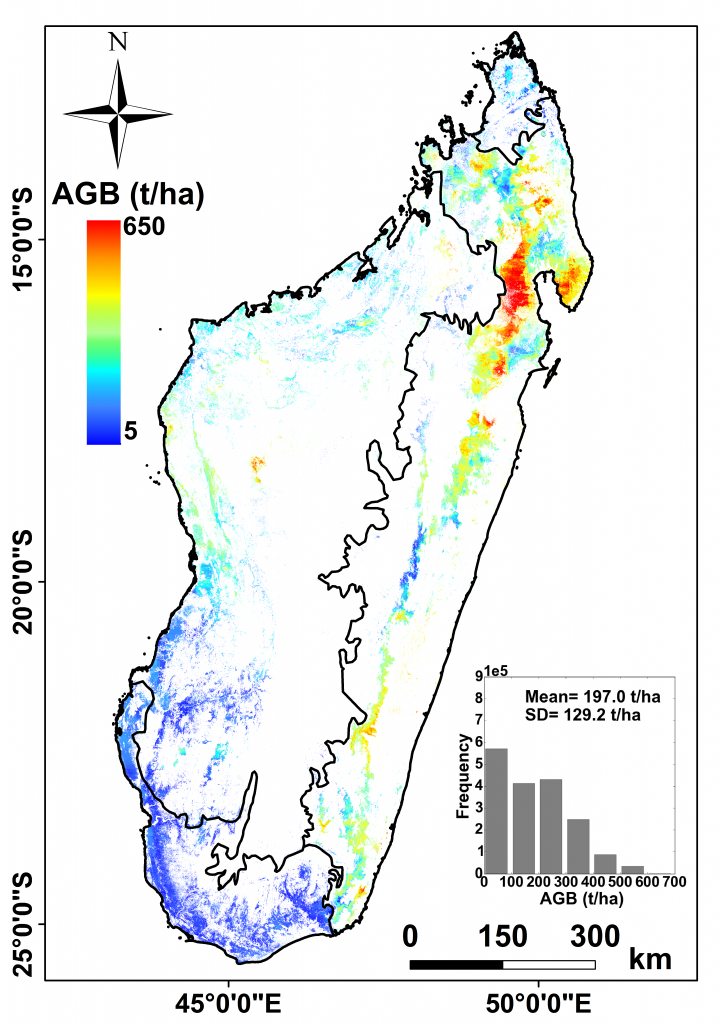
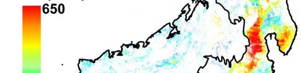
La carte d’une résolution de 250m x 250m est obtenue par fusion de données LiDAR spatial, optiques et d’autres jeux de données climatiques. La précision de cette carte en comparaison à des estimations terrain est de l’ordre de 74 t/ha.
Auteurs : Mohammad El Hajj (Irstea), Nicolas Baghdadi (Irstea), Ibrahim Fayad (Irstea), Ghislain Vieilledent (JRC, CIRAD), Jean Stéphane Bailly (AgroParisTech), Dinh Ho Tong Minh (Irstea)
Remerciements : Irstea, Cnes (Tosca), CIRAD (projet BioSceneMada), JRC (projet ReCaREDD), établissements malgaches (DGF, ONE, WWF, CI, WCS, Goodplanet/ETC Terra), NSDIC (National Snow and Ice Data Center) pour la mise à disposition des données lidar ICESat/GLAS.
Contact

Nicolas Baghdadi
INRAE | Tetis
ResearchGate
Contributions
Format
Metadata
- GeoTIFF raster
- NoData: -3,40282306074e+038
- EPSG: 32738
- Resolution: 250 m
- Pixel type: double precision (32 bits)
Dates des données
- ICESat: 2003-2009
- Données optique: 2000-2010
- SRTM: 2000
- Données Terrain : 1995-2013
Références
El Hajj M., Baghdadi N., Fayad I., Vieilledent G., Bailly J.S., Ho Tong Minh D., 2017. Interest of integrating spaceborne LiDAR data to derive accurate biomass estimates in high biomass forested areas. Remote Sensing, 9(3), 213, pp. 1-19, doi: 10.3390/rs9030213.
Forest biomass map in Madagascar : El Hajj, M., Baghdadi, N., Fayad, I., Vieilledent, G., Bailly, J.-S., & Ho Tong Minh, D. (2018). Forest biomass map in Madagascar. Irstea. https://doi.org/10.17180/forest-biomass-map-madagascar-2017