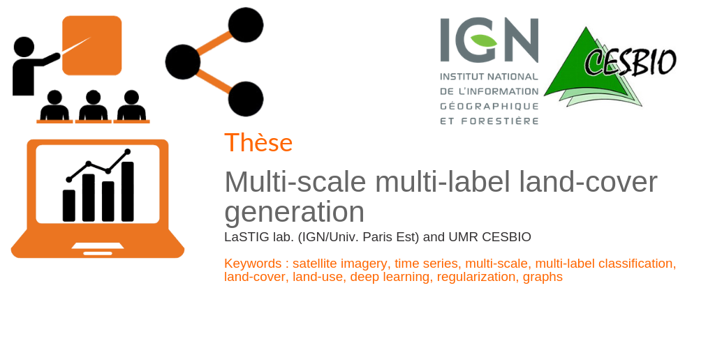
Multi-scale multi-label land-cover generation
L’IGN et le CESBIO dans la cadre du projet Maestria (Multi-modAl Earth obServaTion Image Analysis) proposent une thèse conjointe sur le sujet « multi-scale multi-label land-cover generation ».
Le doctorant sera supervisé conjointement par le laboratoire LaSTIG. (Clément Mallet – Arnaud Le Bris) et l’UMR CESBIO (Jordi Inglada). L’étudiant sera principalement localisé à l’IGN (près de Paris, France) avec
séjours fréquents à Toulouse (France).
La proposition est rédigée en anglais.
The MAESTRIA project will first generate various land-cover maps at large-scales using novel approaches in multi-modal data fusion and semi-supervised learning. These maps will be generated with reduced delays and enriched semantics compared to existing solutions. However, they will still
exhibit rigid sets of classes and spatial resolution.
This PhD thesis work aims to alleviate this issue, bringing more flexibility by automatically deriving new products to answer various case studies. The goal here is to develop methods to derive automatically new land-cover products with different spatial and semantic resolutions out of those produced before. As a consequence, we target to obtain a continuum of adapted land-cover layers, both in terms of spatial scales (2 → 50-100m) and semantics.
Pour postuler
Un seul fichier PDF doit être envoyé à clement.mallet@ign.fr. Il doit comprendre :
- UN CV ;
- Une lettre de motivation, adaptée au sujet proposé ;
- Si possible, des lettres de recommandation.

Clément Mallet
IGN | LASTIG
ORCID | ResearchGate