Catalonia: three years of Soil Moisture with very high spatial resolution

Theia Soil Moisture with very high spatial resolution SEC has just completed its collection of maps for Catalonia (Spain) for the years 2018 and 2019.

231 maps documenting soil moisture at parcel scale are now available for the area, covering nearly three years – from September 2017 to December 2019. The Sentinel-1 sensors provide high repeatability (every 6 days).
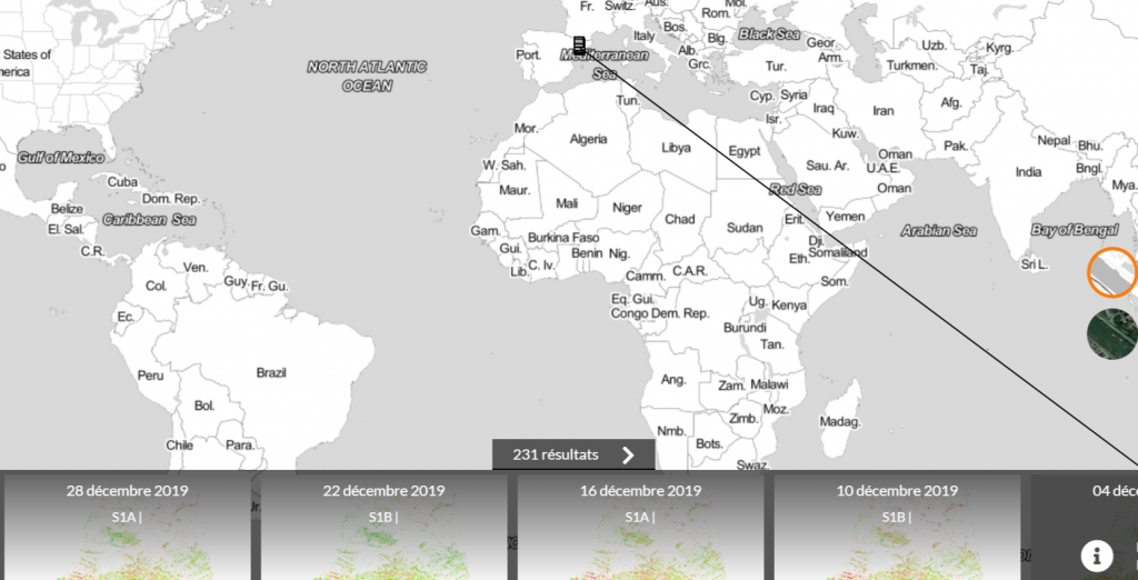
Catalonia Data in February 2020.
Theia VHSR Soil Moisture Data are available on Thisme

Contact

Nicolas Baghdadi
INRAE | Tetis
ResearchGate
Contributions
More news

Two THEIA LiDAR tools for forest monitoring

On this International Day of Forests, for which innovation has a major role to play in 2024, we are highlighting two tools dedicated to the management of aerial LiDAR data […]

SWOT data that exceeds expectations

The SWOT space mission was launched at the end of 2022 by CNES and NASA to document the water masses of the entire planet – oceans and continental waters. Data […]

Albédo Sentinel 2 THEIA pur l'Île-de-France, juin 2022

Measuring the albedo of mainland France from Sentinel-2

THEIA’s Albedo team has developed a method for calculating high-resolution (HR) albedo using Sentinel-2 data. The method has already been used as part of the Copernicus Global Land Service program, […]

Search