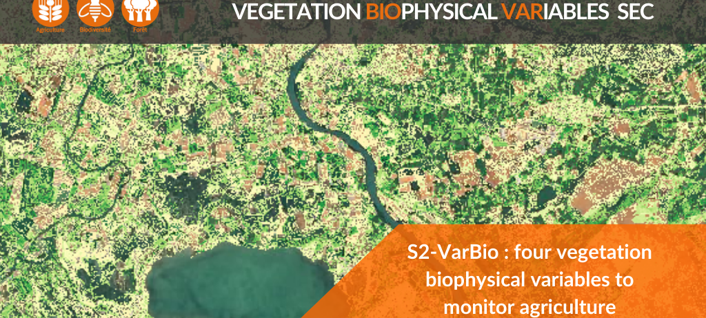
S2-VarBIO: four biophysical variables to monitor crops and vegetation
The Vegetation Biophysical Variables SEC (VarBio) now offers a product documenting a series of four biophysics variables characteristic for vegetation :
- The Green Leaf Area Index (GAI): it is defined as the sum of the photosynthetically active semi-surface area of organs (leaves, stems, ears…) per horizontal unit of soil surface. It is also often assimilated to the term LAI (Leaf Area Index).
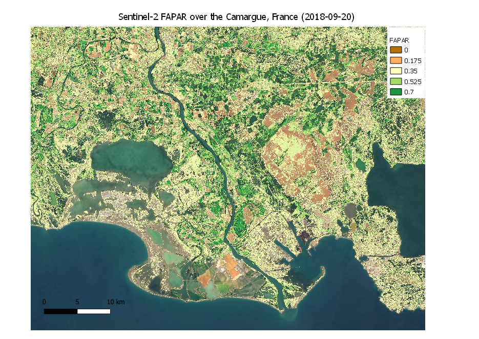
- The fraction of Absorbed Photosynthetically Active Radiation (fAPAR).
- The Fractional Vegetation Cover (FVC) representing the fraction of surface area covered by green vegetation when aiming at a vertical surface.
- The Canopy Chlorophyll Content (CCC) of the vegetation cover.
Key variables for climate and vegetation
LAI and fAPAR have been recognised as essential variables for the study of climate (Essential Climate Variables, ECVs) by GCOS as well as for the study of agriculture (Essential Agricultural Variables, EAVs) by GEOGLAM and for their key role in energy and mass exchanges between the surface and the atmosphere. fAPAR is also used as one of the main inputs into Light Use-Efficiency models to estimate biomass production. In addition to the LAI and FAPAR variables, the fraction of green vegetation, also known as EAV, and the chlorophyll content of the canopy are also of great interest for vegetation: GF is used to separate vegetation from soil in the energy balance, including temperature and evapotranspiration; CCC is used as a proxy for the nitrogen content of leaves or plants, one of the essential elements of the nitrogen balance of vegetation.
These four variables are therefore essential for crop monitoring, particularly for yield assessment, for monitoring agricultural practices or for analysing a crop’s response to environmental stresses such as nitrogen deficiencies or drought.
Look out for the demonstration products
The first demonstation products are available on theia.cnes.fr
Production aims to get operational for March 2021.
The format of the products is described in the PDF accessible below
Contact

Marie Weiss
INRAE
@M.Weiss

Frédéric Baret
INRAE | Capte
@frederic.baret