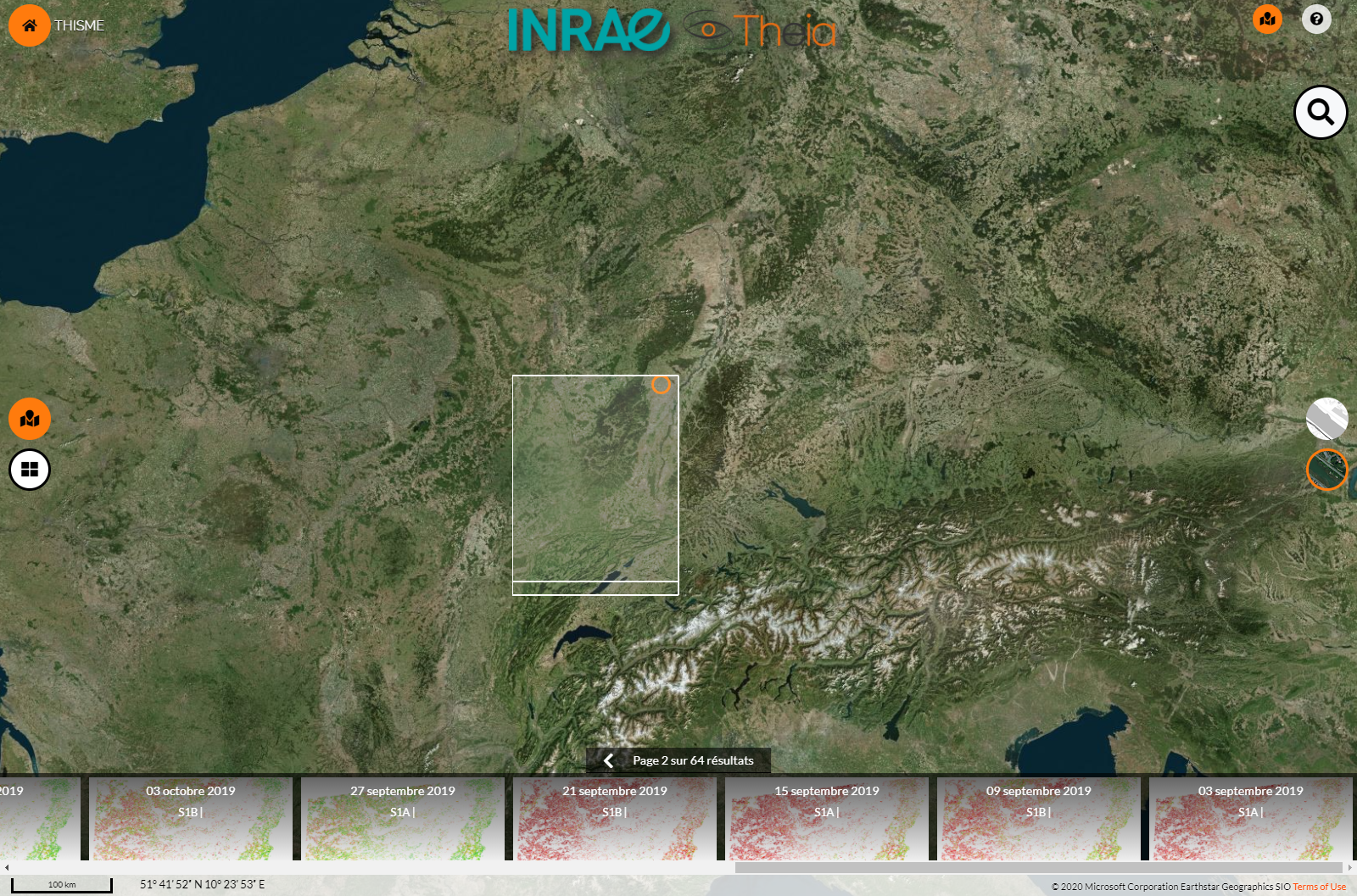
Half VHRS Soil Moisture series updated
Last two months, Soil Moisture at Very High Spatial Resolution SEC has updated 10 out of 22 of its series documenting soil moisture at slot-level using Sentinel-1 data, offering a 6-days revisit. Data for all these 10 series are now available up to late February to May 2021. Many are now furthermore covering multiple years, allowing comparison and long-time study.
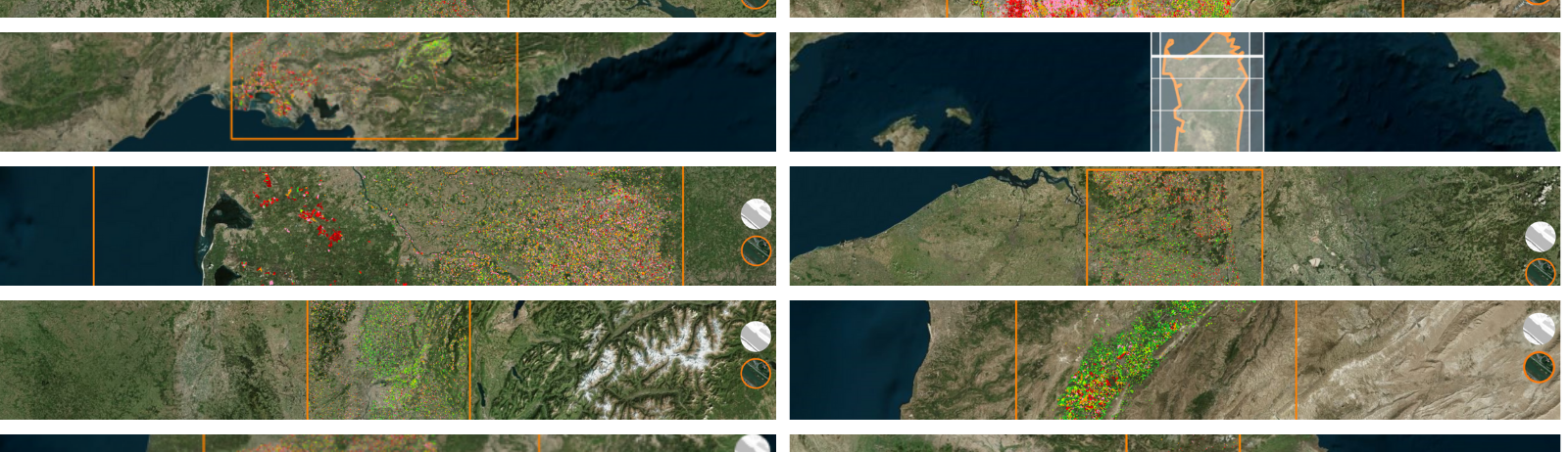
Five Metropolitan France Series
Grand-Est Strasbourg | Data have been updated up to 31 May 2021. The series now features 102 plot-scale soil moisture maps since September 2019.
Nouvelle-Aquitaine Bordeaux | Data have been updated up to 27 May 2021. The series now features 177 plot-scale soil moisture maps since July 2017.
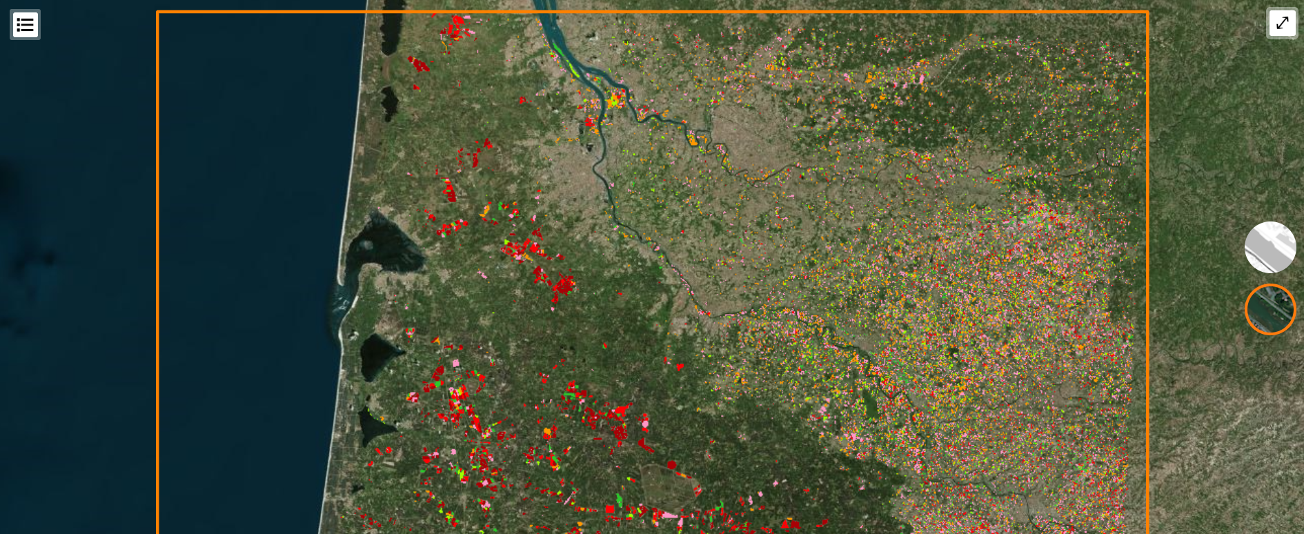
Rhône-Alpes Lyon | Data have been updated up to 30 April 2021. The series now features 97 plot-scale soil moisture maps since September 2019.
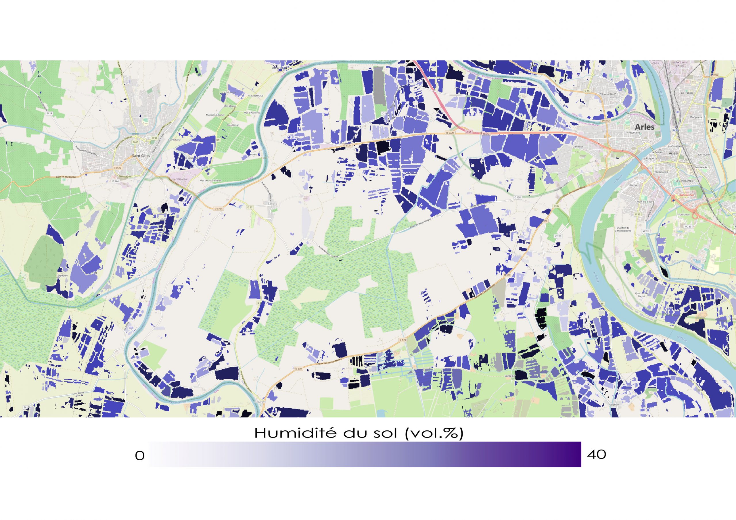
Provence | Data have been updated up to 18 April 2021. The series now features 282 plot-scale soil moisture maps since September 2019.
Occitanie | Data have been updated up to 18 April 2021. The series now features 282 plot-scale soil moisture maps since September 2019.
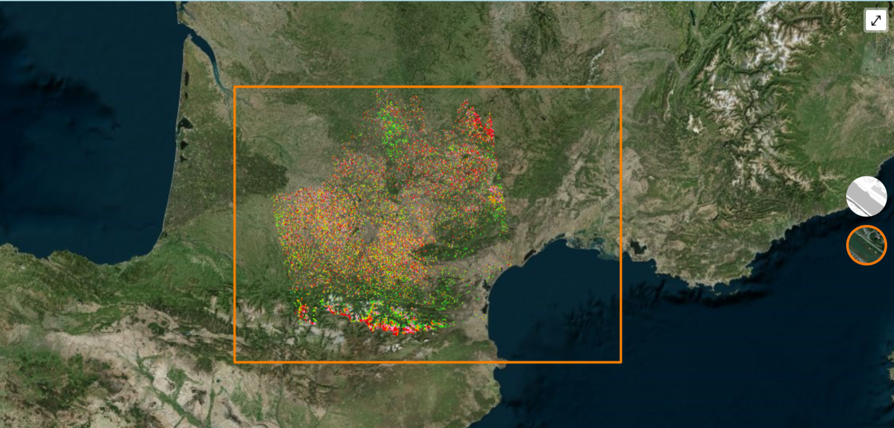
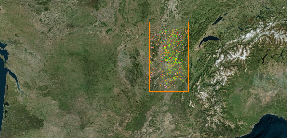
Five Mediterranean and European collections
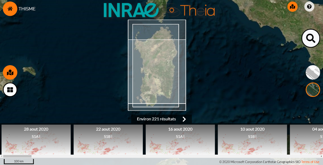
Sardinia, Italy | Data have been updated for this site up to 24 February 2021. The series now features 509 plot-scale soil moisture maps starting from September 2017.
Beqaa Valley, Lebanon | Data have been updated for this site up to 25 February 2021. The series now features 367 plot-scale soil moisture maps starting from September 2017.

Haouz, Morocco | Data have been updated for this site up to 27 February 2021. The series now features 207 plot-scale soil moisture maps starting from October 2017.
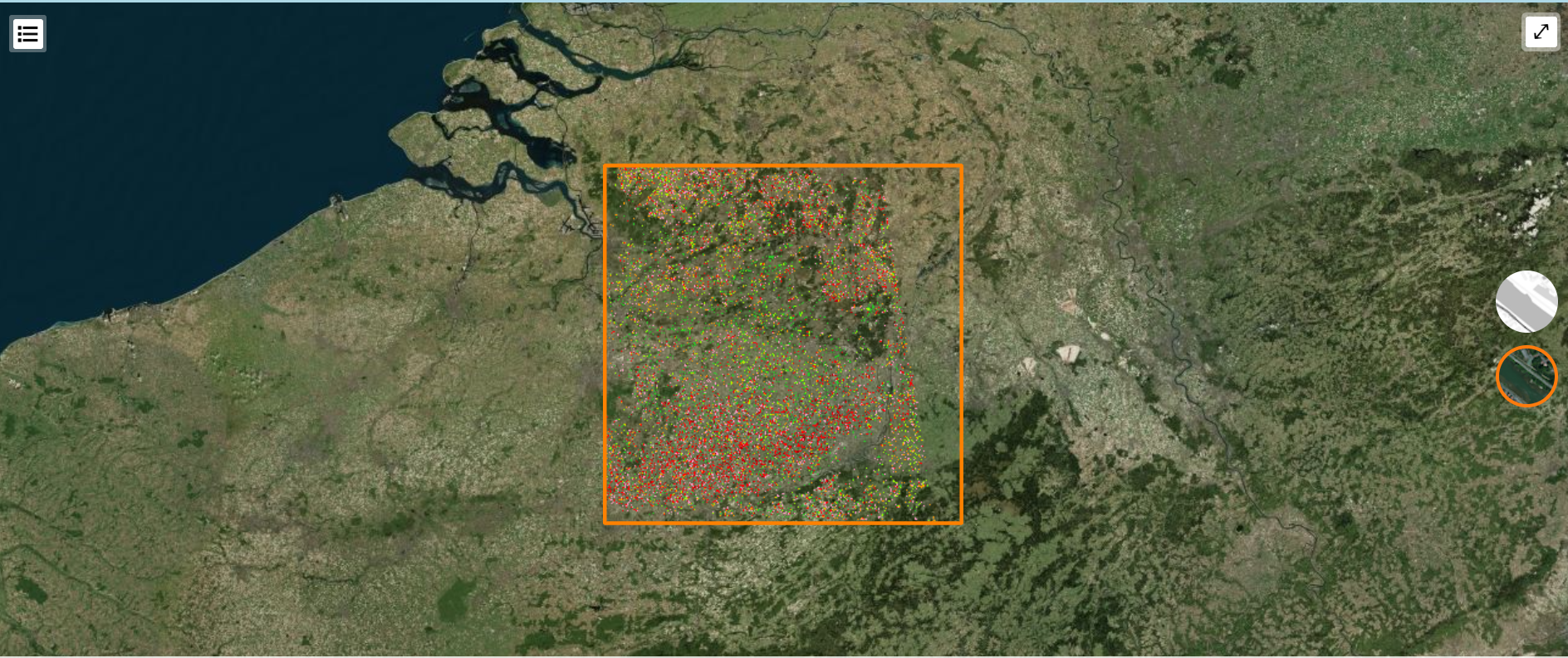
Flemish Region, Belgium | Data have been updated for this site up to 30 May 2021. The series now features 82 plot-scale soil moisture maps starting from July 2020.
Catalonia, Spain | Data have been updated for this site up to 28 May 2021. The series now features 260 plot-scale soil moisture maps starting from September 2017.

More about the product
Contact

Nicolas Baghdadi
INRAE | Tetis
ResearchGate
Contributions