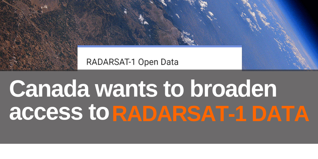
Canada wants to broaden access to Radarsat-1 Data
Canada’s RADARSAT-1 was the first operational radar-based Earth Observation Satellite. RADARSAT-1 acquired numerous data collections from 1995 to 2013. The historical value of this data is clear as it allows making comparisons using images of the same region acquired over the years: for example, to study climate change effects.
The Canadian Space Agency has recently released over 37 000 RADARSAT-1 images for public use, free of charge; you can download them at https://www.eodms-sgdot.nrcan-rncan.gc.ca/sp-pe.html.
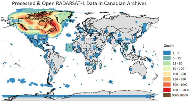
In light of this initiative, the CSA is evaluating the feasibility of opening up more RADARSAT-1 data over Canada and internationally. A survey is open to better understand the community’s needs and preferences with respect to RADARSAT-1 data.
For any questions, please contact julie.claveau@canada.ca.