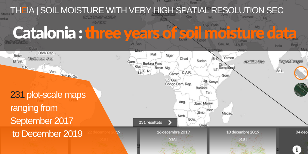
Catalonia: three years of Soil Moisture with very high spatial resolution

Theia Soil Moisture with very high spatial resolution SEC has just completed its collection of maps for Catalonia (Spain) for the years 2018 and 2019.

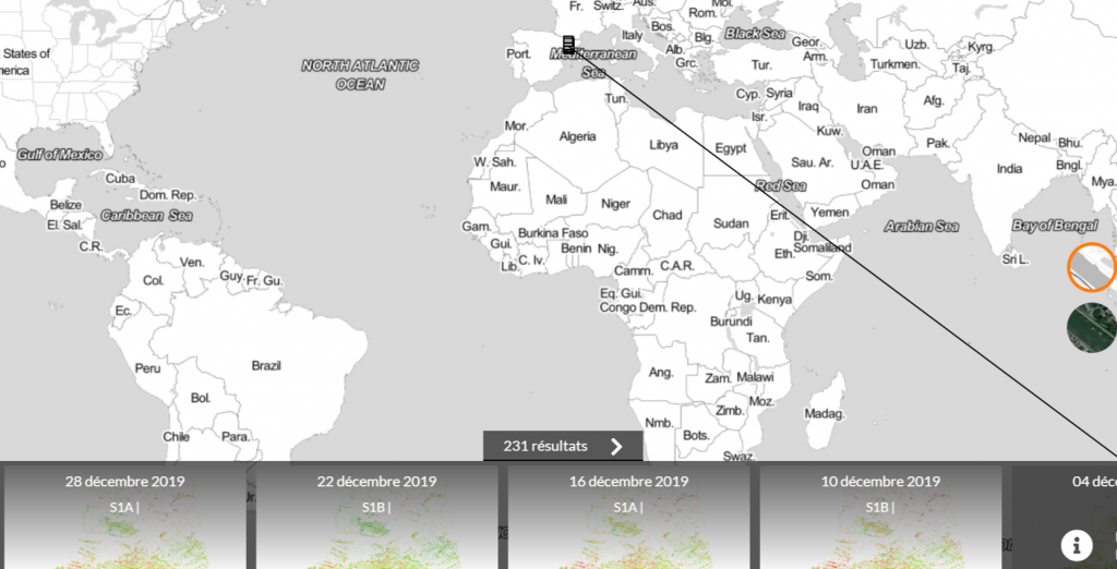
231 maps documenting soil moisture at parcel scale are now available for the area, covering nearly three years – from September 2017 to December 2019. The Sentinel-1 sensors provide high repeatability (every 6 days).

Catalonia Data in February 2020.
Theia VHSR Soil Moisture Data are available on Thisme

Contact

Nicolas Baghdadi
INRAE | Tetis
ResearchGate
Contributions

More news

AlTiS-NG GUI with Jason-2 mission on the Komadugu river, Niger

AlTiS-NG: A new tool for analysing altimetry data in hydrology

Discover AlTiS-NG, THEIA new hydrological altimetry software presented on Tuesday 24 June on the Data Terra stand at the LPS.

Data Terra, a major data player, awaits you at the Living Planet Symposium 2025

Join Data Terra at the heart of innovation at the Living Planet Symposium 2025! From June 23 to 27 in Vienna.

SWOT : Understanding Our Rivers, Lakes and Floodplains

Two years after the launch of the French-American SWOT mission, what progress has been made in monitoring continental waters ?

Search