Publications
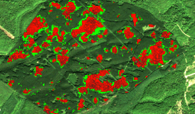
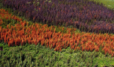
The expert group brings together engineers, researchers and players in the forestry sector. They are developing and implementing methods and tools based on remote sensing data to improve the monitoring and sustainable management of temperate forests.

Softwares & algorithmes
lidaRtRee is an R package that provides functions for forest analysis using airborne laser scanning (LiDAR remote sensing) data:
Agenda
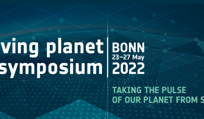
Go to Bonn with Theia’s Living Planet programme in your pocket!
Softwares & algorithmes
Variables & products
Theia ‘Changes and Health of Temperate Forests’experts group brings together engineers, researchers and stakeholders from the forestry sector, in order to develop and implement methods and tools based on remote sensing data to improve silvicultural and sylvo-sanitary monitoring and the sustainable management of temperate forests, in a context where the pressure factors on these ecosystems are increasingly more numerous in France, in Europe, and throughout the world.