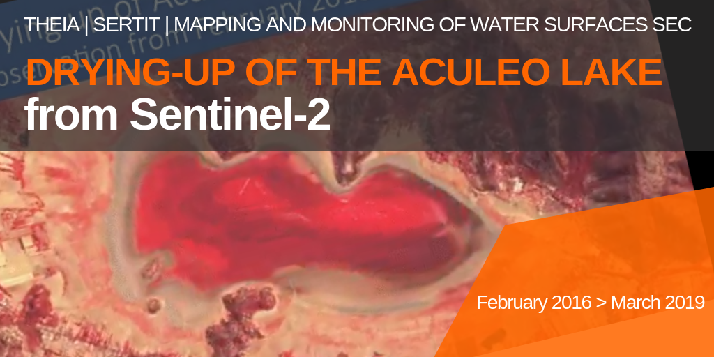
Drying-up of Aculeo Lake (Chile)

The SERTIT team, member of the Theia ‘Mapping and Monitoring of Water Bodiess’ SEC used Sentinel-2 data to document the gradual disappearance of Lake Aculeo, near Santiago, Chile, between February 2016 and March 2019.

The 12 km2 lake, which was 12 km2 deep and 6 m deep in 2011, rapidly declined under the combined pressure of a long drought, tourism and real estate development on its shores and over-consumption of water from its tributaries by large agro-industrial plantations.

The lake level has been at zero since May 2018.
More news

AlTiS-NG GUI with Jason-2 mission on the Komadugu river, Niger

AlTiS-NG: A new tool for analysing altimetry data in hydrology

Discover AlTiS-NG, THEIA new hydrological altimetry software presented on Tuesday 24 June on the Data Terra stand at the LPS.

Data Terra, a major data player, awaits you at the Living Planet Symposium 2025

Join Data Terra at the heart of innovation at the Living Planet Symposium 2025! From June 23 to 27 in Vienna.

SWOT : Understanding Our Rivers, Lakes and Floodplains

Two years after the launch of the French-American SWOT mission, what progress has been made in monitoring continental waters ?

Search