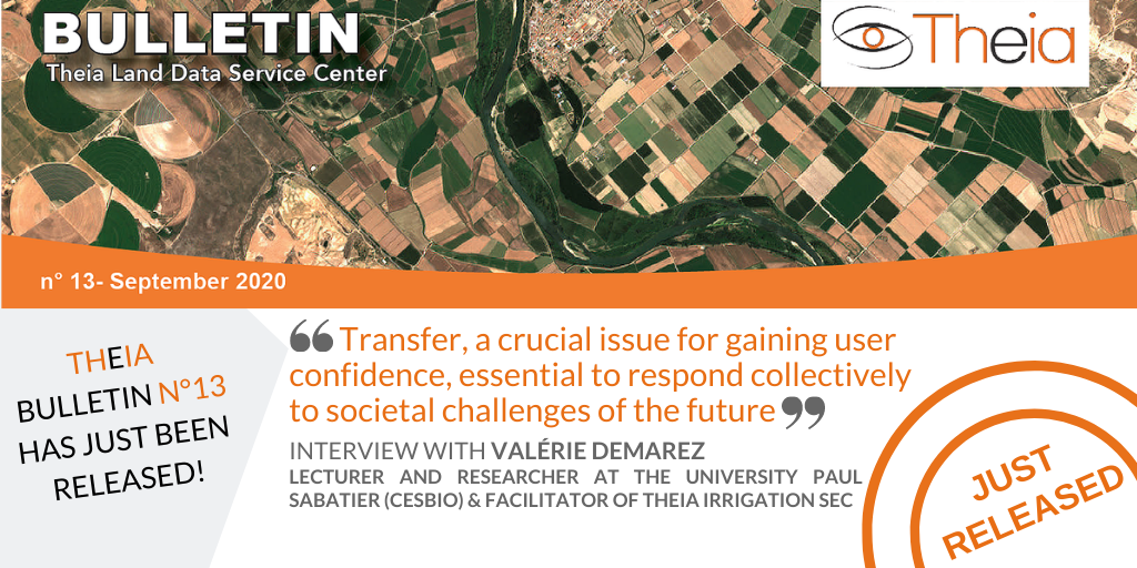
Hydroweb counts now over 11000 stations

Early November 2020 a new version of Hydroweb has significantly increased the number of operationally monitored virtual stations over rivers, from 1733 to 11336 stations.
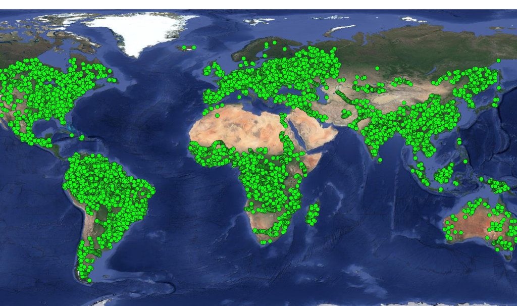
Location of the 11336 Hydroweb Monitored Virtual Stations worldwide

A selection in the online interface based on the station validation flag has been added. This flag indicates how the water surface height time series were validated : automatic statistical criteria « AUTOMATIC », validation by experts « EXPERT », or comparisons with in situ data « INSITU ».
More news

AlTiS-NG GUI with Jason-2 mission on the Komadugu river, Niger

AlTiS-NG: A new tool for analysing altimetry data in hydrology

Discover AlTiS-NG, THEIA new hydrological altimetry software presented on Tuesday 24 June on the Data Terra stand at the LPS.

Data Terra, a major data player, awaits you at the Living Planet Symposium 2025

Join Data Terra at the heart of innovation at the Living Planet Symposium 2025! From June 23 to 27 in Vienna.

SWOT : Understanding Our Rivers, Lakes and Floodplains

Two years after the launch of the French-American SWOT mission, what progress has been made in monitoring continental waters ?

Search