Operational production of the Snow collection

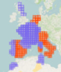
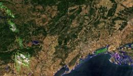
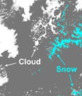
Maps of snow cover area at 20m resolution generated from Sentinel-2 observations are available every 5 days on theia.cnes.fr.

The Snow collection will progressively cover most mountain regions in west Europe, but also the Atlas in Morocco, eastern Canada…

The Snow collection can be freely downloaded from theia.cnes.fr by any registered user.


More information: SnowSnow-covered surface CESSnow / Ice
More news

AlTiS-NG GUI with Jason-2 mission on the Komadugu river, Niger

AlTiS-NG: A new tool for analysing altimetry data in hydrology

Discover AlTiS-NG, THEIA new hydrological altimetry software presented on Tuesday 24 June on the Data Terra stand at the LPS.

Data Terra, a major data player, awaits you at the Living Planet Symposium 2025

Join Data Terra at the heart of innovation at the Living Planet Symposium 2025! From June 23 to 27 in Vienna.

SWOT : Understanding Our Rivers, Lakes and Floodplains

Two years after the launch of the French-American SWOT mission, what progress has been made in monitoring continental waters ?

Search