OTB 7.0
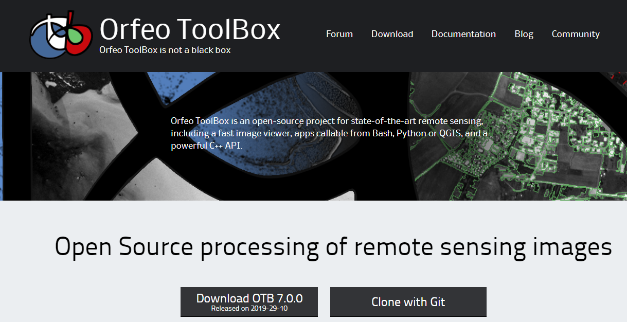
Orfeo ToolBox (OTB) is an open-source project for state-of-the-art remote sensing. Built on the shoulders of the open-source geospatial community, it can process high resolution optical, multispectral and radar images at the terabyte scale. A wide variety of applications are available: from ortho-rectification or pansharpening, all the way to classification, SAR processing, and much more!
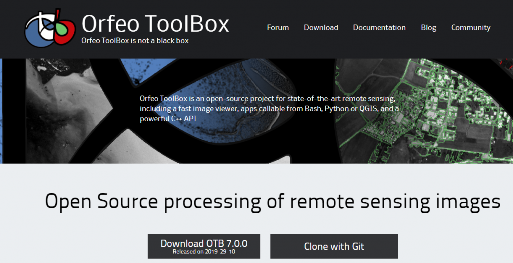
Thanks to the community commitment and hard work, a new edition 7.0 has just been released and is free to download
OTB 7.0 includes new applications, fixed bugs, and even more convenient python bindings to use.
Contact

Rémi Cresson
INRAE | Tetis
@R.Cresson
Contributions
