Mission
THEIA, the land surface data and services hub of IR Data Terra, facilitates access to environmental data and federates scientific expertise on a national scale around five major themes: cryosphere, continental waters, land cover, agrosystems & biodiversity and imagery & radiometry.
4 objectives:
- Developing and promoting the use of in situ, aerial and space data by all communities (scientists, academics and public players) for continental surfaces;
- Developing value-added products and innovative processing services, distributing them in accordance with FAIR principles and promoting them;
- Leading and federating a network of stakeholders (scientists, public and private users) involved in monitoring and managing environmental issues on a local and global scale;
- Participating in the scientific, methodological and technical training of communities.
>> distributed processing capabilities at mainland France level, structured into four (Observation) Data and Services Centres – Toulouse, Montpellier, Strasbourg and Grenoble -, offering access to a wide range of data, products and services;
>> five Scientific Expertise Centres, networking laboratories in order to develop and propose innovative methods, and produce products and services based on in situ aerial and space data;
>> a Thematic Regional Network, bringing together all data users on a regional basis: scientists and users from the public and private sectors.
Using satellite imagery to establish a link between the environment, the habitats that are favourable to these species, and the human and animal populations at risk
Annelise TRAN, CIRAD researcher and THEIA Risks associated with Infectious Diseases SEC, shares her vision of Theia consortium, its achievements as well as the challenges ahead.
Hespérides and Geospatial Data Portals: Simplifying and Facilitating Access to Data
Access to spatial data is rapidly evolving — let’s take a closer look at the data and thematic products produced by CNES for THEIA.
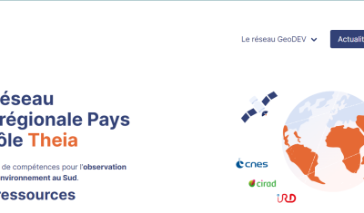
A new GeoDEV website, with resources tailored to your profile
The website of the ART GeoDEV, the Theia Regional Animation network that CIRAD, IRD and CNES have been leading since 2017 in the direction of Southern countries, is evolving to […]
Events