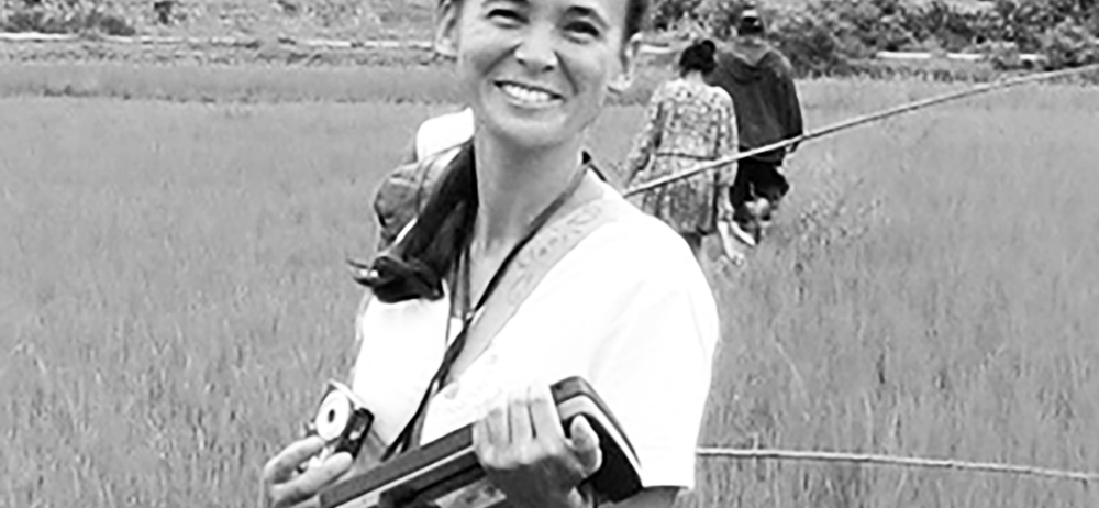
Using satellite imagery to establish a link between the environment, the habitats that are favourable to these species, and the human and animal populations at risk
Researcher, Cirad, Tetis
Facilitator for THEIA Risks Associated with Infectious Diseases SEC
- What motivates your involvement in THEIA as facilitator of the Risks Associated with Infectious Diseases SEC?
- How does this involvement fit in with your research work on the use of remote sensing for health?
- As a CIRAD researcher, how do you approach the issues of transfer and cooperation with the South?
- What do you see as the key challenges for Theia in the future?
What motivates your involvement in THEIA as facilitator of the Risks Associated with Infectious Diseases SEC?
Annelise Tran: Until recently, the number of teams in France working on remote sensing and health was very small, even though the subject has grown in importance over the last fifteen years. Participating in THEIA, which covers a wide range of topics, first of all allowed us to give visibility to our research work. Furthermore, the work of THEIA Risks Associated with Infectious Diseases SEC has resulted in operational tools and methods that THEIA makes it possible to transfer to users – which is very motivating. Today, THEIA offers a single portal where users can find all the information on remote sensing applications for land surfaces, which makes it possible to link different themes. This is particularly interesting for the health theme, for which we need land use products, water data, urban data and biodiversity data. The links between all these themes or research dynamics are visible on THEIA. For me, it is one of THEIA’s great achievements to link these works, these products and these teams.
How does this involvement fit in with your research work on the use of remote sensing for health?
Annelise Tran: In the context of vector-borne or zoonotic infectious diseases, which involve vector or reservoir species in the transmission cycle, the aim is to use satellite imagery to establish the link between the environment, the habitats that are favourable to these species and the human and animal populations at risk. To document these fairly indirect links between images and health, we need Earth observation data that can describe the habitat of these vectors or reservoirs, with appropriate spatial and temporal resolutions. The remote sensing offer today is becoming interesting with both very high spatial resolution and significant temporal repeatability. We can thus play with these different types of images to obtain relevant information. What is still missing are more models capable of establishing these successive links.
In THEIA Risks Associated with Infectious Diseases SEC, we propose both products derived from remote sensing – land use, variations in water surfaces, for example – and processing chains and models that make it possible to make these successive connections: land use maps, coupled with meteorological data, make it possible to map the risk of abundance of disease vectors, such as mosquitoes. Another example is the work carried out as part of the TEMPO project on animal mobility: maps of water surfaces and land use are used to simulate the movements of domestic and wild ungulates, making it possible to map the areas of contact between these species and the risk of transmitting diseases such as foot-and-mouth disease (Read p. 6).
As a CIRAD researcher, how do you approach the issues of transfer and cooperation with the South?
Annelise Tran: At CIRAD and IRD, research is organised in partnership with developing countries. At CIRAD, it is through platforms in partnership (DP), i.e. regional networks supporting research and teaching activities. I have just spent six years in the One Health Indian Ocean DP, which brings together all the human and veterinary health stakeholders in the region. The mechanism allows research to be conducted in consultation with the stakeholders, in order to best meet their needs, which in turn encourages the appropriation of tools. For its part, the IRD has international joint laboratories – such as the international joint laboratory (LMI) Sentinela on infectious diseases in Brazil – which organise cooperative research and the transfer of methods and results. In the field of health, perhaps more than elsewhere, the question of transfer is not only from North to South as one might think. The research carried out by THEIA Risks Associated with Infectious Diseases SEC teams over the years on mosquito-borne diseases was initially born of the needs of the countries of the South and has enabled the development of operational tools. But finally, with the arrival of the tiger mosquito in France, the transfer of methods and tools is now being made to the regional health agencies in the North!
What do you see as the key challenges for Theia in the future?
Annelise Tran: I think training is a key challenge for THEIA. THEIA has already made the products from different themes very visible and has accustomed users to remote sensing. Many health actors are now convinced of the value of satellite images for taking the environment into account during studies on infectious diseases. However, much remains to be done to make users autonomous in the use of remote sensing products and methods. Theia, in its role as a link between researchers and users, must contribute to this. Another challenge is to include the characterisation, monitoring and modelling of the impact of climate change in THEIA’s themes.
In health as in other sectors, strong impacts are expected. Earth observation data and models will be needed to better understand the relationships between climate, environment and health and thus help anticipate the future health impact of global changes, including climate change. This is another key challenge to be met. Using satellite imagery to establish a link between the environment, the habitats that are favourable to these species, and the human and animal populations at risk.