2026 Data Terra and THEIA at EGU
At EGU 2026 (Vienna, Austria, 3-8 May 2026 ), Data Terra is co-hosting a session :🔸 Shaping the European landscape for Earth System Science – Making transnational data use of research infrastructures […]
At EGU 2026 (Vienna, Austria, 3-8 May 2026 ), Data Terra is co-hosting a session :🔸 Shaping the European landscape for Earth System Science – Making transnational data use of research infrastructures […]
Join us in Montpellier, France, from 4 to 8 May 2026 for the first BioMonWeek, the new European conference dedicated to advancing biodiversity monitoring. Co-organised by Biodiversa+, GBIF ECA, MARCO-BOLO, BioAgora and Alliance for Nature, this event […]
As part of #EGU26 (Vienna, Austria, 3–8 May 2026), Data Terra is co-organising two sessions:
News
Access to spatial data is rapidly evolving — let’s take a closer look at the data and thematic products produced by CNES for THEIA.

Publications
Discover AlTiS-NG, THEIA new hydrological altimetry software presented on Tuesday 24 June on the Data Terra stand at the LPS.
Publications
Join Data Terra at the heart of innovation at the Living Planet Symposium 2025! From June 23 to 27 in Vienna.
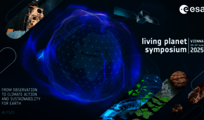
Come and meet us at LPS 2025 in Vienna, Austria. Data Terra will have a stand and organise services demonstrations and experts meetings from all its thematics hubs;
Jobs
The INRAE offers a remote-sensing engineer position in TETIS laboratory, Montpellier, France.
Registration is open until 25 April!

Join the SWOT Science Team Meeting at Arcachon’s Congress Center from October 14 to October 17, 2025. We are delighted to share and discuss the impressive results from broader scientific […]

Publications
Two years after the launch of the French-American SWOT mission, what progress has been made in monitoring continental waters ?
News
The CDS THEIA of CNES is opening new centers to improve access to and dissemination of Earth observation data.