Open position: Machine learning engineer
Position open in TETIS lab, Montpellier

Jobs
Position open in TETIS lab, Montpellier
Publications
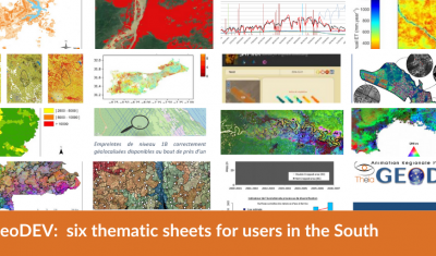
Theia GeoDEV RAN proposes thematic sheets with Southern users’ needs in mind.
Jobs
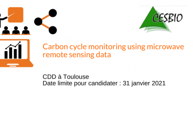
One-year position in Cesbio (Toulouse, France). Apply before 31st January 2021
Agenda
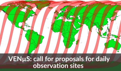
Until 15 February 2021, all VENµS users are welcome to propose sites for daily observations with a 4m resolution and 12 spectral bands.
Publications
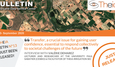
Valérie Demarez, facilitator of Theia Irrigation SEC, gives us her vision of the role of Theia consortium, her SEC and satellite research in the face of today’s challenges.
Publications
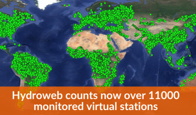
Hydroweb last version offers data from more than 11000 virtual stations as well as more validation information.
Publications
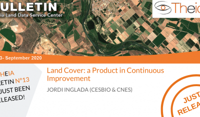
Jordi Inglada tells us about the latest developments of Theia Land Cover product.
Publications
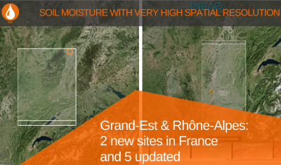
Data at plot-scale are now available for 2 new sites in France: Grand-Est and Rhône-Alpes. 5 others have been updated.
Publications
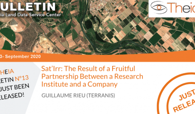
Guillaume Rieu (TerraNIS) revisits the logic of Academic/Business cooperation lthat underlies the success of a tool like Sat’Irr.
Jobs
Mission : defining PHIDIAS’architecture (precursor of the architecture of the Data Terra Research Infrastructure).
Publications
Anne Fromage-Mariette, director of Open IG, a structure coordinating Theia Occitanie RAN, shares with us her vision of the stakes of animation and mediation for the promotion of the uses of space.
Publications
The Trishna mission being planned opens up new horizons for research and applications for Theia.